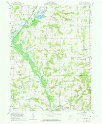
1961 Map of Holmesville
USGS Topo · Published 1973About this map
Killbuck Creek and the Pennsylvania Railroad define the north-south transport corridor through the heart of Wayne and Holmes counties in the early 1960s. This agricultural landscape is anchored by Holmesville and Fredericksburg, with several smaller clusters such as Moreland and Hard marking the intersections of rural life. The presence of the Fish Hatchery near Jennings Ditch and numerous Gravel Pits along the creek valley points to the specific local industries utilizing the glacial till and water resources of the region.
Find a feature on this map
39 named features on this map. Tap any name to fly to it.
Don’t see what you’re looking for? This feature index may not catch every label — zoom into the map to look around manually.
Map Details
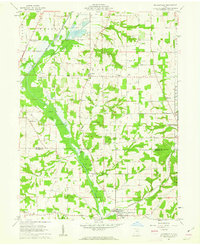
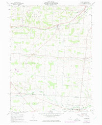
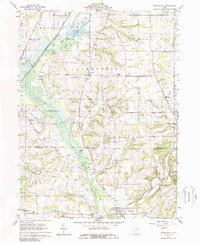
Editions of this 1961 Holmesville Map
4 editions found
Other maps of this area

1901 · Wooster
USGS Topo · 1:62,500

1903 · Wooster
USGS Topo · 1:62,500

1906 · West Salem
USGS Topo · 1:62,500

1908 · West Salem
USGS Topo · 1:62,500

1912 · Loudonville
USGS Topo · 1:62,500

1914 · Loudonville
USGS Topo · 1:62,500

1915 · Millersburg
USGS Topo · 1:62,500

1943 · Millersburg
USGS Topo · 1:62,500

1943 · Loudonville
USGS Topo · 1:62,500

1950 · Marion
USGS Topo · 1:250,000