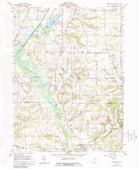
1961 Map of Holmesville
USGS Topo · Published 1989About this map
The Pennsylvania Railroad anchors the industrial and transport corridor of the early 1960s, running parallel to the wetlands of Killbuck Creek. This landscape is defined by the transition from the glaciated plains of Wooster and Plain townships into the more dissected terrain of Franklin and Prairie. Local life centers around the established village of Holmesville and the outlying community of Fredericksburg, while smaller named points like Stringtown, Moreland, and Hard suggest the enduring footprint of earlier rural settlements. Notable landmarks for genealogical research include the Moorhead Ch, West Prairie Cem, and the Franklin Sch. The presence of several Gravel Pits and a Fish Hatchery near the northern boundary reflects the era's reliance on local natural resources and specialized land use along the valley floor.
Find a feature on this map
37 named features on this map. Tap any name to fly to it.
Don’t see what you’re looking for? This feature index may not catch every label — zoom into the map to look around manually.
Map Details
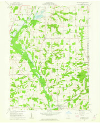
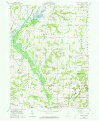
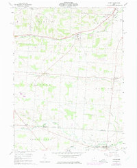
Editions of this 1961 Holmesville Map
4 editions found
Other maps of this area

1901 · Wooster
USGS Topo · 1:62,500

1903 · Wooster
USGS Topo · 1:62,500

1906 · West Salem
USGS Topo · 1:62,500

1908 · West Salem
USGS Topo · 1:62,500

1912 · Loudonville
USGS Topo · 1:62,500

1914 · Loudonville
USGS Topo · 1:62,500

1915 · Millersburg
USGS Topo · 1:62,500

1943 · Millersburg
USGS Topo · 1:62,500

1943 · Loudonville
USGS Topo · 1:62,500

1950 · Marion
USGS Topo · 1:250,000