
1952 Map of Homer
USGS Topo · Published 1953About this map
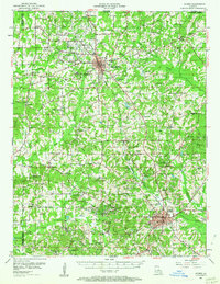
Homer Oil Field dominates the southern landscape of Claiborne Parish, reflecting the mid-century petroleum boom that shaped northern Louisiana. The industrial footprint of tanks and derricks sits alongside traditional agricultural patterns, with the Louisiana & North West RR cutting a path through the parish seat of Homer. The map reveals a dense network of country institutions, often identified by family or community names such as Ward Chapel Sch and Mt Lebanon Ch.
Find a feature on this map
97 named features on this map. Tap any name to fly to it.
Don’t see what you’re looking for? This feature index may not catch every label — zoom into the map to look around manually.
Map Details
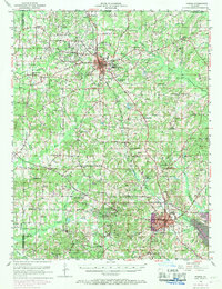
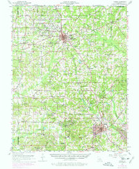
Editions of this 1952 Homer Map
4 editions found
Other maps of this area

1922 · Sarepta
USGS Topo · 1:62,500

1924 · Sarepta
USGS Topo · 1:62,500

1947 · Minden
USGS Topo · 1:62,500

1949 · Minden
USGS Topo · 1:62,500

1949 · Gibsland
USGS Topo · 1:62,500

1950 · Gibsland
USGS Topo · 1:62,500

1950 · Arcadia
USGS Topo · 1:62,500

1951 · Arcadia
USGS Topo · 1:62,500

1951 · Summerfield
USGS Topo · 1:62,500

1953 · El Dorado
USGS Topo · 1:250,000