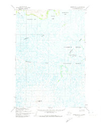
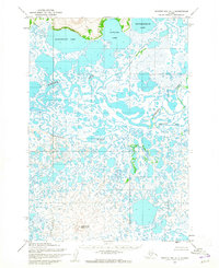
1952 Map of Hooper Bay C-1
USGS Topo · Published 1974About this map
The Clarence Rhode National Wildlife Range dominates this portion of the Yukon-Kuskokwim Delta, preserving a complex of wetland habitats as they appeared in the early 1950s. The landscape is defined by an intricate network of waterways, including the meandering Kokechik River and Chelunginik River. These river systems, along with the Piyukenuk River and Kuttak River, weave through a terrain dense with large bodies of water like Kagankaguti Lake, Kawialik Lake, and Kingokakthluk Lake. Rising from the surrounding lowlands, Ingrisarak Mtn provides a rare point of elevation in a region otherwise characterized by vast stretches of tundra and tidal flats. This Army Map Service survey captures the hydrological character of the area before modern environmental changes, offering a detailed baseline of the delta's natural state.
Find a feature on this map
9 named features on this map. Tap any name to fly to it.
Don’t see what you’re looking for? This feature index may not catch every label — zoom into the map to look around manually.
Map Details
Editions of this 1952 Hooper Bay C-1 Map
2 editions found
Other maps of this area

1951 · Marshall
USGS Topo · 1:250,000

1951 · Hooper Bay
USGS Topo · 1:250,000
1952 · Hooper Bay D-1
USGS Topo · 1:63,360
1952 · Marshall D-8
USGS Topo · 1:63,360
1952 · Marshall C-8
USGS Topo · 1:63,360
1952 · Hooper Bay C-1
USGS Topo · 1:63,360

1952 · Hooper Bay D-2
USGS Topo · 1:63,360

1953 · Hooper Bay
USGS Topo · 1:250,000
1953 · Hooper Bay B-1
USGS Topo · 1:63,360
1953 · Marshall B-8
USGS Topo · 1:63,360