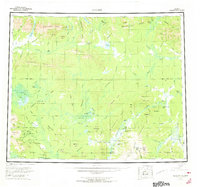
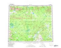
1956 Map of Hughes
USGS Topo · Published 1973About this map
The Hughes settlement sits at the heart of this mid-century Alaskan interior survey, positioned along the banks of the Koyukuk River. This remote landscape is defined by its dramatic watershed divides, where the Arctic Circle crosses through the Hogatzatna Hills and Lockwood Hills. Regional travel and transport in this era are anchored to the water and seasonal routes, evidenced by the Sled Trail leading toward the Indian Mountains and the specific river access points like Elevenmile Landing Area and Hog Landing. The presence of a Placer Mine near Indian Mountain suggests the enduring pull of mineral extraction in the Yukon-Koyukuk region. To the north, the terrain rises into the Angayucham Mts and Helpmejack Hills, sheltering large bodies of water such as Norutak Lake and Lake Selby that feed the intricate network of the Alatna River and Kobuk River systems.
Find a feature on this map
103 named features on this map. Tap any name to fly to it.
Don’t see what you’re looking for? This feature index may not catch every label — zoom into the map to look around manually.
Map Details
Editions of this 1956 Hughes Map
6 editions found

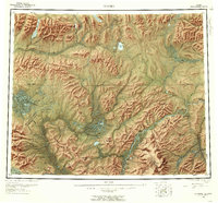
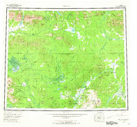
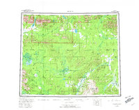
Other maps of this area

1951 · Shungnak
USGS Topo · 1:250,000

1951 · Kateel River
USGS Topo · 1:250,000

1951 · Hughes
USGS Topo · 1:250,000

1951 · Melozitna
USGS Topo · 1:250,000

1951 · Bettles
USGS Topo · 1:250,000

1951 · Survey Pass
USGS Topo · 1:250,000

1951 · Tanana
USGS Topo · 1:250,000

1951 · Ambler River
USGS Topo · 1:250,000

1951 · Wiseman
USGS Topo · 1:250,000

1952 · Melozitna D-1
USGS Topo · 1:63,360