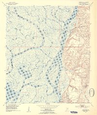
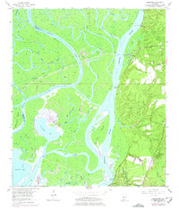
1953 Map of Hurricane
USGS Topo · Published 1954About this map
Civil War Trenches cut through the high ground of the Stony Hill region, marking a landscape where military history meets the complex delta of the Alabama coast. This 1953 survey captures the intricate hydrology east of the Mobile River, where the Tensaw River and Raft River weave through a dense network of marshlands, including Chuckfee Bay and Grand Bay. The eastern bluffs provide a stark contrast to the wetlands, hosting small communities like Hurricane and several rural landmarks critical for genealogists.
Find a feature on this map
58 named features on this map. Tap any name to fly to it.
Don’t see what you’re looking for? This feature index may not catch every label — zoom into the map to look around manually.
Map Details
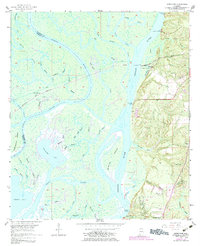
Editions of this 1953 Hurricane Map
6 editions found
Other maps of this area

1921 · Fairhope
USGS Topo · 1:62,500

1922 · Mobile
USGS Topo · 1:62,500

1940 · Mobile
USGS Topo · 1:31,680

1940 · Mobile
USGS Topo · 1:62,500

1941 · Chickasaw
USGS Topo · 1:31,680

1941 · Blakeley
USGS Topo · 1:31,680

1941 · Bay Minette
USGS Topo · 1:62,500

1941 · Creola
USGS Topo · 1:62,500

1941 · Fairhope
USGS Topo · 1:62,500

1942 · Hurricane
USGS Topo · 1:31,680