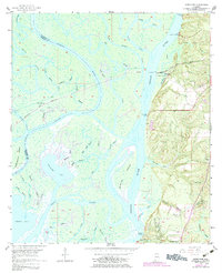
1953 Map of Hurricane
USGS Topo · Published 1983About this map
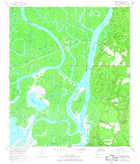
Civil War Trenches remain etched into the landscape along the eastern bank of the Tensaw River, providing a tangible link to the area's strategic military importance. This delta environment, where the Mobile River and Tensaw bifurcate, is a complex network of bayous and islands, including Twelvemile Island and Gravine Island. The settlement at Hurricane serves as a focal point along the Nashville and Louisville RR, reflecting the vital role of rail transport in the mid-20th century. Local life is documented through numerous community landmarks, such as Magnolia Ch, Blakesley Sch, and Miller Cem. The landscape transitions from the marshy Chuckfee Bay and Grand Bay to the rising elevations of Stony Hill, where an Airway Beacon and a series of landings like Steam Mill Landing hint at the river-based commerce and navigation essential to Baldwin County.
Find a feature on this map
63 named features on this map. Tap any name to fly to it.
Don’t see what you’re looking for? This feature index may not catch every label — zoom into the map to look around manually.
Map Details
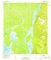
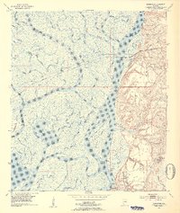
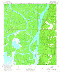
Editions of this 1953 Hurricane Map
6 editions found
Other maps of this area

1921 · Fairhope
USGS Topo · 1:62,500

1922 · Mobile
USGS Topo · 1:62,500

1940 · Mobile
USGS Topo · 1:31,680

1940 · Mobile
USGS Topo · 1:62,500

1941 · Chickasaw
USGS Topo · 1:31,680

1941 · Blakeley
USGS Topo · 1:31,680

1941 · Bay Minette
USGS Topo · 1:62,500

1941 · Creola
USGS Topo · 1:62,500

1941 · Fairhope
USGS Topo · 1:62,500

1942 · Hurricane
USGS Topo · 1:31,680