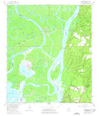
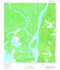
1953 Map of Hurricane
USGS Topo · Published 1975About this map
Civil War Trenches along the eastern bluffs overlook a complex riverine landscape where the Mobile River and Tensaw River converge. This 1953 survey, updated with 1970s revisions, highlights the strategic and commercial importance of the delta. Along the riverbanks, multiple historical landings such as Sizemore Landing, Perkins Landing, and Steam Mill Landing indicate a reliance on waterborne transport and local industry.
Find a feature on this map
59 named features on this map. Tap any name to fly to it.
Don’t see what you’re looking for? This feature index may not catch every label — zoom into the map to look around manually.
Map Details
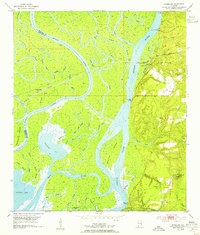
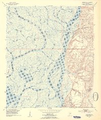
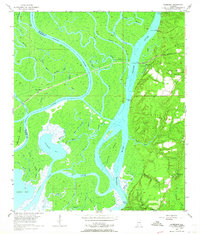
Editions of this 1953 Hurricane Map
6 editions found
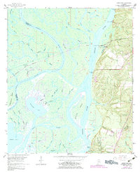
Other maps of this area

1921 · Fairhope
USGS Topo · 1:62,500

1922 · Mobile
USGS Topo · 1:62,500

1940 · Mobile
USGS Topo · 1:31,680

1940 · Mobile
USGS Topo · 1:62,500

1941 · Chickasaw
USGS Topo · 1:31,680

1941 · Blakeley
USGS Topo · 1:31,680

1941 · Bay Minette
USGS Topo · 1:62,500

1941 · Creola
USGS Topo · 1:62,500

1941 · Fairhope
USGS Topo · 1:62,500

1942 · Hurricane
USGS Topo · 1:31,680