
1909 Map of Ijamsville
USGS Topo · Published 1909About this map
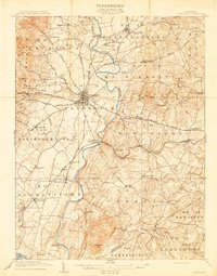
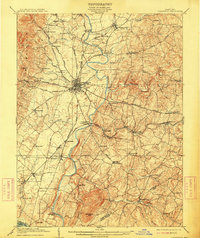
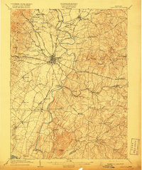
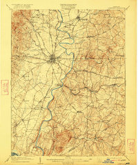
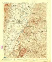
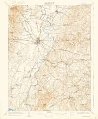
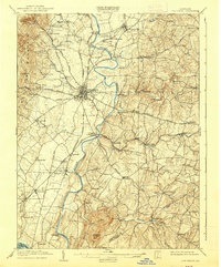
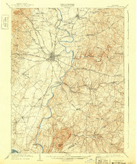
The city of Frederick serves as the focal point of this Maryland landscape, situated at a junction of rail and road commerce just after the turn of the century. The Monocacy River snakes through the center of the terrain, flanked by significant infrastructure including the Northern Central RR and the Baltimore and Ohio RR. The map illustrates a highly developed transportation network of the era, featuring numerous historic turnpikes like the Woodsboro Turnpike and the Liberty Turnpike, which connected agrarian communities and local industry. To the southwest, the distinctive profile of Sugarloaf Mtn rises above the river valley. Local history details are prominent, from the county Almshouse north of the city to smaller railroad-adjacent settlements such as Ijamsville and Araby P O. The presence of the Electric RR heading west toward Braddock Mountain highlights the early expansion of regional transit beyond traditional steam lines.
Find a feature on this map
90 named features on this map. Tap any name to fly to it.
Don’t see what you’re looking for? This feature index may not catch every label — zoom into the map to look around manually.
Map Details
Editions of this 1909 Ijamsville Map
9 editions found
Other maps of this area

1884 · Harpers Ferry
USGS Topo · 1:125,000

1891 · Harpers Ferry
USGS Topo · 1:125,000

1893 · Frederick
USGS Topo · 1:125,000

1893 · Harpers Ferry
USGS Topo · 1:125,000

1894 · Frederick
USGS Topo · 1:125,000

1908 · Middletown
USGS Topo · 1:48,000

1908 · Rockville
USGS Topo · 1:62,500

1908 · Seneca
USGS Topo · 1:62,500

1908 · Ijamsville
USGS Topo · 1:62,500

1909 · Mount Airy
USGS Topo · 1:62,500