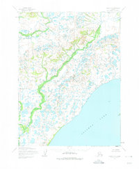
1954 Map of Iliamna C-8
USGS Topo · Published 1975About this map
Iliamna Lake dominates the southeastern horizon of this mid-century survey, its expansive shoreline meeting a complex lowland of muskeg and hundreds of small, unnamed ponds. The drainage pattern is defined by Kaskanak Creek, which winds southward through the center of the terrain, carving a distinct green corridor through the tundra. This map, based on aerial photography from the early 1950s, depicts a wilderness area without established roads or permanent settlements at the time of the field annotation. The intricate network of waterways and the elevation contours illustrate the low-lying, water-saturated character of the region as it transitions from the higher ground in the north toward the vast inland sea of the lake.
Find a feature on this map
2 named features on this map. Tap any name to fly to it.
Don’t see what you’re looking for? This feature index may not catch every label — zoom into the map to look around manually.
Map Details
Editions of this 1954 Iliamna C-8 Map
2 editions found
Other maps of this area

1951 · Dillingham
USGS Topo · 1:250,000

1951 · Iliamna B-7
USGS Topo · 1:63,360

1952 · Iliamna
USGS Topo · 1:250,000

1954 · Iliamna C-8
USGS Topo · 1:63,360

1954 · Iliamna D-8
USGS Topo · 1:63,360

1954 · Dillingham
USGS Topo · 1:250,000
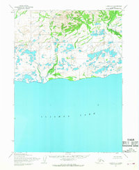
1954 · Iliamna C-7
USGS Topo · 1:63,360
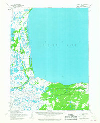
1954 · Iliamna B-8
USGS Topo · 1:63,360

1954 · Dillingham C-1
USGS Topo · 1:63,360

1954 · Iliamna D-7
USGS Topo · 1:63,360