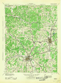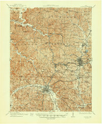
1913 Map of Jackson
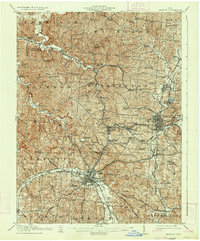
USGS Topo · Published 1948About this map
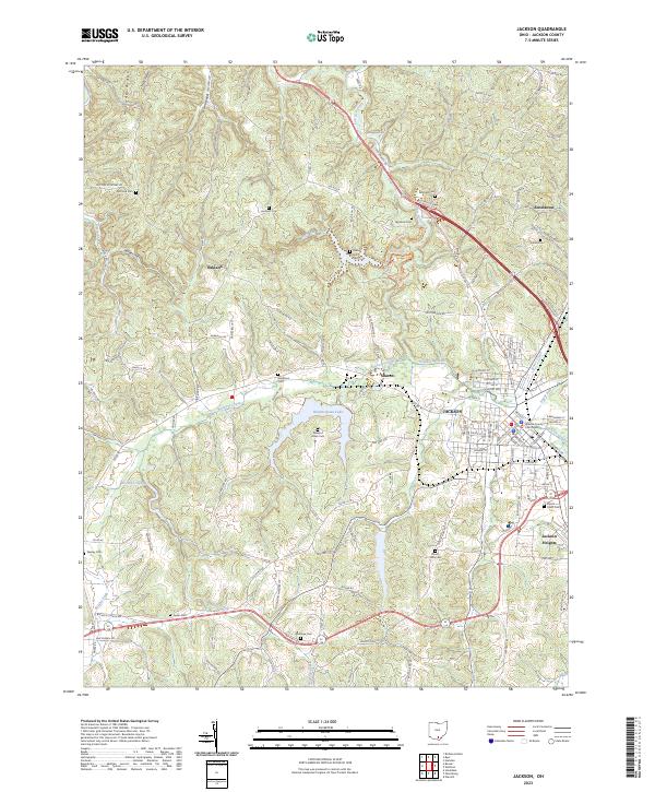
Wellston and Jackson anchor this 1910s survey, illustrating a landscape defined by an intensive network of early-twentieth-century industrial and community infrastructure. The map reveals the heavy presence of rail transport, with the Baltimore and Ohio Railroad, Hocking Valley Railroad, and several other lines converging to serve local industry. Evidence of the region's iron history is visible at Jackson Furnace, while the density of rural education is noted through numerous local schoolhouses such as Claylick School, Black Knob School, and Savageville School. Between the larger centers of Jackson and Wellston lie specialized mining and railway settlements including Coalton, Glenroy, and Goldsboro. Topographical features like Phillips Hollow and Little Salt Creek carve through the terrain, with institutional landmarks like the County Farm and Ridgewood Cemetery providing essential data points for local genealogy and land-use research.
Find a feature on this map
103 named features on this map. Tap any name to fly to it.
Don’t see what you’re looking for? This feature index may not catch every label — zoom into the map to look around manually.
Map Details
Editions of this 1913 Jackson Map
2 editions found
Historical Maps of Jackson Through Time
8 maps found