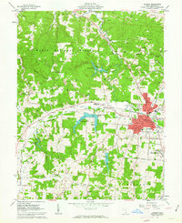
1961 Map of Jackson
USGS Topo · Published 1963About this map
Jackson serves as a dense industrial and transit hub in this early 1960s survey, defined by its role as a junction for the Detroit Toledo and Ironton and Chesapeake and Ohio railroads. The landscape surrounding the city is heavily marked by extractive industry, with dozens of Strip Mines, Quarries, and Kilns dotting the hillsides of McCune Ridge and Pine Ridge. This industrial activity exists alongside extensive public lands within the Wayne National Forest, where steep hollows like Harper Hollow and Erwin Hollow remain largely undeveloped.
Find a feature on this map
73 named features on this map. Tap any name to fly to it.
Don’t see what you’re looking for? This feature index may not catch every label — zoom into the map to look around manually.
Map Details
Editions of this 1961 Jackson Map
5 editions found
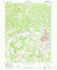

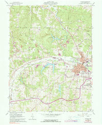
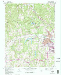
Other maps of this area

1906 · Waverly
USGS Topo · 1:62,500

1908 · Waverly
USGS Topo · 1:62,500

1911 · Sciotoville
USGS Topo · 1:62,500

1912 · Oak Hill
USGS Topo · 1:62,500

1913 · Sciotoville
USGS Topo · 1:62,500

1913 · Jackson
USGS Topo · 1:62,500

1944 · Jackson
USGS Topo · 1:62,500

1947 · Columbus
USGS Topo · 1:250,000

1957 · Huntington
USGS Topo · 1:250,000

1960 · Huntington
USGS Topo · 1:250,000