
1961 Map of Jackson
USGS Topo · Published 1977About this map
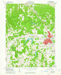
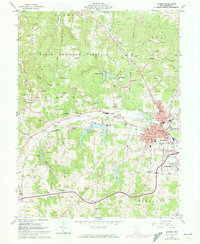
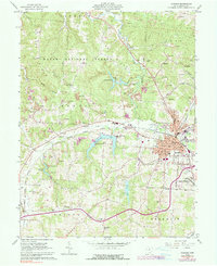
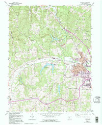
Jackson serves as the industrial and civic anchor of this region, where the Chesapeake and Ohio and Detroit Toledo and Ironton railroads converge near the Courthouse. This landscape is defined by the heavy footprint of resource extraction, with numerous strip mines and claypits scattered across the hills of the Wayne National Forest. Outside the city center, rural life is marked by family-named landmarks and small community hubs like Oakland, Limerick, and Jackson Heights.
Find a feature on this map
76 named features on this map. Tap any name to fly to it.
Don’t see what you’re looking for? This feature index may not catch every label — zoom into the map to look around manually.
Map Details
Editions of this 1961 Jackson Map
5 editions found
Other maps of this area

1906 · Waverly
USGS Topo · 1:62,500

1908 · Waverly
USGS Topo · 1:62,500

1911 · Sciotoville
USGS Topo · 1:62,500

1912 · Oak Hill
USGS Topo · 1:62,500

1913 · Sciotoville
USGS Topo · 1:62,500

1913 · Jackson
USGS Topo · 1:62,500

1944 · Jackson
USGS Topo · 1:62,500

1947 · Columbus
USGS Topo · 1:250,000

1957 · Huntington
USGS Topo · 1:250,000

1960 · Huntington
USGS Topo · 1:250,000