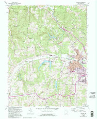
1961 Map of Jackson
USGS Topo · Published 1995About this map
The city of Jackson serves as the focal point for this survey, showing a landscape shaped by both industry and conservation in southern Ohio. The urban core is detailed with thoroughfares like Howard Central Ave and Sycamore St, while the surrounding townships of Liberty and Coal reveal a dense network of rural landmarks. Of particular note is the Lake Katherine State Nature Preserve, which protects the waters of Rock Run and Little Salt Creek.
Find a feature on this map
68 named features on this map. Tap any name to fly to it.
Don’t see what you’re looking for? This feature index may not catch every label — zoom into the map to look around manually.
Map Details
Editions of this 1961 Jackson Map
5 editions found

Other maps of this area

1906 · Waverly
USGS Topo · 1:62,500

1908 · Waverly
USGS Topo · 1:62,500

1911 · Sciotoville
USGS Topo · 1:62,500

1912 · Oak Hill
USGS Topo · 1:62,500

1913 · Sciotoville
USGS Topo · 1:62,500

1913 · Jackson
USGS Topo · 1:62,500

1944 · Jackson
USGS Topo · 1:62,500

1947 · Columbus
USGS Topo · 1:250,000

1957 · Huntington
USGS Topo · 1:250,000

1960 · Huntington
USGS Topo · 1:250,000