
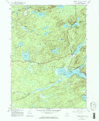
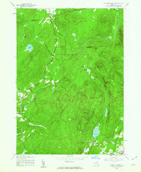
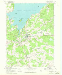
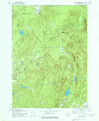
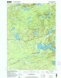
2023 Map of Jackson Summit
USGS Topo · Published 2023About this map
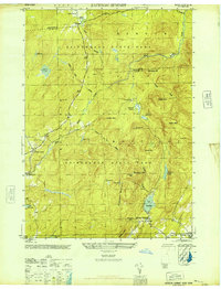
The boundary between Hamilton and Fulton Counties divides this pocket of the Adirondack Mountains, where high-elevation wetlands and rocky summits dictate the layout of small settlements. Jackson Summit and Dennies Hollow occupy the southern valley, connected to the north by winding forest roads like Tolemantown Rd. The landscape is defined by its water system, ranging from the cascades of Buttermilk Falls to the high-country marshes of Johnson Swamp, Racker Vly, and Meat Vly.
Find a feature on this map
54 named features on this map. Tap any name to fly to it.
Don’t see what you’re looking for? This feature index may not catch every label — zoom into the map to look around manually.
Map Details
Editions of this 2023 Jackson Summit Map
This is the sole edition of this map. No revisions or reprints were ever made.
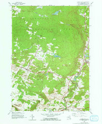
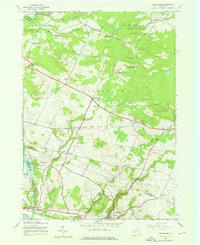
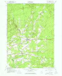
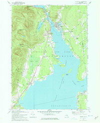
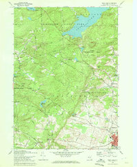
Historical Maps of Upper Benson Through Time
32 maps found

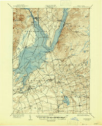
1899 Broadalbin
Fulton County, NY

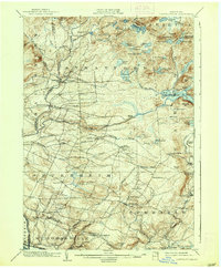
1901 Lassellsville
Fulton County, NY
1902 Broadalbin
Fulton County, NY
1903 Lassellsville
Fulton County, NY
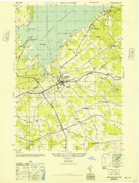
1945 Broadalbin
Fulton County, NY
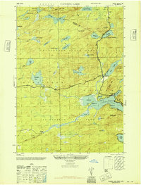
1945 Canada Lake
Fulton County, NY
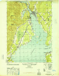
1945 Jackson Summit
Fulton County, NY

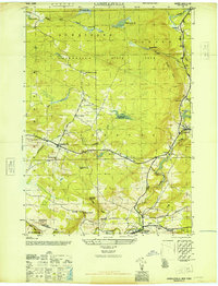
1945 Lassellsville
Fulton County, NY
1945 Lassellsville
Fulton County, NY

1945 Northville
Fulton County, NY
1945 Oppenheim
Fulton County, NY
1945 Stratford
Fulton County, NY
1946 Broadalbin
Fulton County, NY
1946 Canada Lake
Fulton County, NY
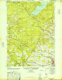
1946 Jackson Summit
Fulton County, NY
1946 Lassellsville
Fulton County, NY
1946 Northville
Fulton County, NY
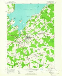
1946 Peck Lake
Fulton County, NY
1962 Peck Lake
Fulton County, NY
1970 Broadalbin
Fulton County, NY
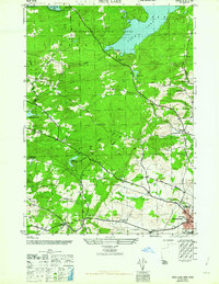
1970 Jackson Summit
Fulton County, NY
1970 Northville
Fulton County, NY
1970 Peck Lake
Fulton County, NY
1997 Canada Lake
Fulton County, NY

2023 Broadalbin
Fulton County, NY

2023 Canada Lake
Fulton County, NY
2023 Jackson Summit
Fulton County, NY

2023 Lassellsville
Fulton County, NY

2023 Northville
Fulton County, NY

2023 Oppenheim
Fulton County, NY

2023 Peck Lake
Fulton County, NY

2023 Stratford
Fulton County, NY