
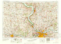
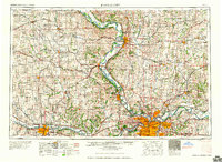
1960 Map of Kansas City
USGS Topo · Published 1960About this map
The Missouri River and Kansas River anchor this 1960 regional survey, showing the interconnectedness of Missouri and Kansas during a period of significant post-war urban growth. The map captures the dense metropolitan development of Kansas City and Independence alongside the smaller municipal centers of Saint Joseph and Topeka. Beyond the urban cores, the landscape is defined by vast tribal lands, including the Kickapoo Indian Reservation, the Pottawatomie Indian Reservation, and the Iowa Sac and Fox Indian Reservation. These territories, alongside the prominent Fort Leavenworth Military Reservation, highlight a diverse history of land use and administration in the Missouri Valley. Significant water features like Mission Lake and Lake Harrington provide insight into local recreational and water management priorities at mid-century.
Find a feature on this map
74 named features on this map. Tap any name to fly to it.
Don’t see what you’re looking for? This feature index may not catch every label — zoom into the map to look around manually.
Map Details
Editions of this 1960 Kansas City Map
3 editions found
Historical Maps of The Estates West Through Time
14 maps found

1890 Kansas City
Wyandotte County, KS
1894 Kansas City
Wyandotte County, KS
1935 Kansas City
Wyandotte County, KS
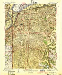
1940 Kansas City
Wyandotte County, KS

1950 Kansas City
Wyandotte County, KS

1954 Kansas City
Wyandotte County, KS
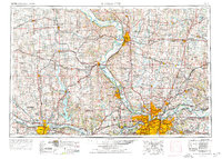
1956 Kansas City
Wyandotte County, KS
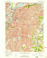
1957 Kansas City
Wyandotte County, KS
1960 Kansas City
Wyandotte County, KS
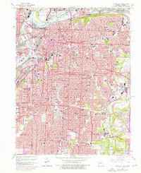
1964 Kansas City
Wyandotte County, KS
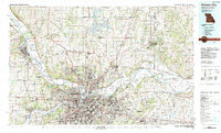
1983 Kansas City
Wyandotte County, KS
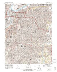
1991 Kansas City
Wyandotte County, KS
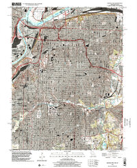
1996 Kansas City
Wyandotte County, KS
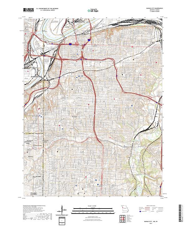
2021 Kansas City
Wyandotte County, KS