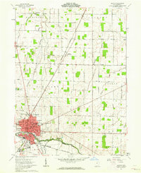
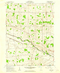
1961 Map of Kenton
USGS Topo · Published 1963About this map
The Blanchard River and Scioto River define the agricultural landscape of Hardin County in the early 1960s, a period when the town of Kenton served as a bustling hub for regional transport and local industry. The city's grid is dense with institutional details, from the Courthouse and Hospital to the Northwood Sch and High Sch, while the County Fairground and Grain Elevator reflect the town's role at the heart of Ohio's farm country.
Find a feature on this map
55 named features on this map. Tap any name to fly to it.
Don’t see what you’re looking for? This feature index may not catch every label — zoom into the map to look around manually.
Map Details
Editions of this 1961 Kenton Map
Other maps of this area

1905 · Arlington
USGS Topo · 1:62,500

1907 · Arlington
USGS Topo · 1:24,000

1907 · Upper Sandusky
USGS Topo · 1:62,500

1915 · Kenton
USGS Topo · 1:62,500

1915 · La Rue
USGS Topo · 1:62,500

1944 · Kenton
USGS Topo · 1:62,500

1950 · Marion
USGS Topo · 1:250,000

1960 · Marseilles
USGS Topo · 1:24,000
1960 · Silver Creek
USGS Topo · 1:24,000
1961 · Foraker
USGS Topo · 1:24,000