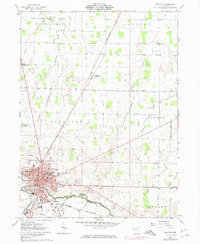
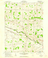
1961 Map of Kenton
USGS Topo · Published 1975About this map
The Kenton city center anchors this mid-century topographic study, showing a bustling Hardin County hub defined by its intersection of the Penn Central and Erie-Lackawanna railroads. The town's civic core is detailed with the Courthouse, Hospital, and several local schools such as Northwood Sch and Westview Sch. A significant boundary line marks the landscape south of the Scioto River, separating the Congress Lands from the Virginia Military District, a legacy of early American land surveying.
Find a feature on this map
47 named features on this map. Tap any name to fly to it.
Don’t see what you’re looking for? This feature index may not catch every label — zoom into the map to look around manually.
Map Details
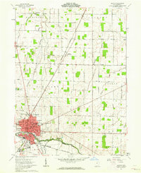
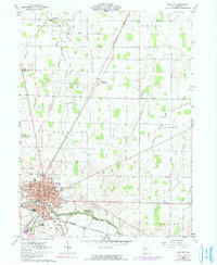
Editions of this 1961 Kenton Map
Other maps of this area

1905 · Arlington
USGS Topo · 1:62,500

1907 · Arlington
USGS Topo · 1:24,000

1907 · Upper Sandusky
USGS Topo · 1:62,500

1915 · Kenton
USGS Topo · 1:62,500

1915 · La Rue
USGS Topo · 1:62,500

1944 · Kenton
USGS Topo · 1:62,500

1950 · Marion
USGS Topo · 1:250,000

1960 · Marseilles
USGS Topo · 1:24,000
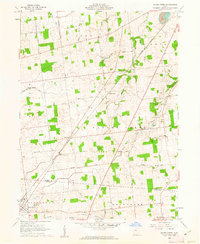
1960 · Silver Creek
USGS Topo · 1:24,000
1961 · Foraker
USGS Topo · 1:24,000