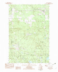
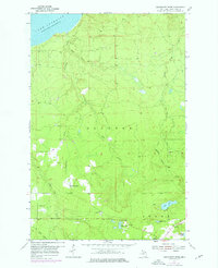
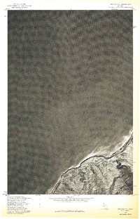
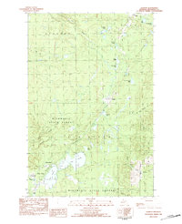
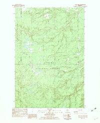
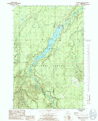
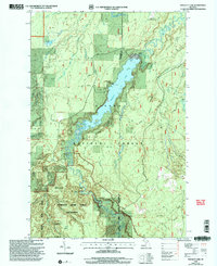
1982 Map of Kenton
USGS Topo · Published 1983This historical map portrays the area of Kenton in 1982, primarily covering Houghton County as well as portions of Iron County and Ontonagon County. Featuring a scale of 1:25000, this map provides a highly detailed snapshot of the terrain, roads, buildings, counties, and historical landmarks in the Kenton region at the time. Published in 1983, it is one of 2 known editions of this map due to revisions or reprints.
Map Details
Editions of this 1982 Kenton Map
2 editions found

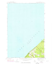
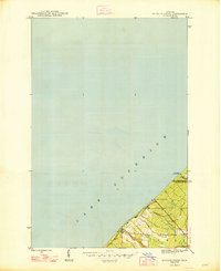
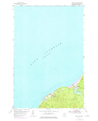
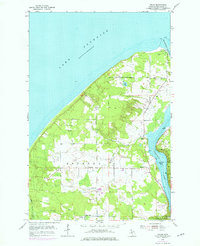
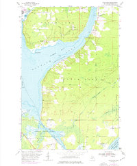
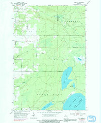
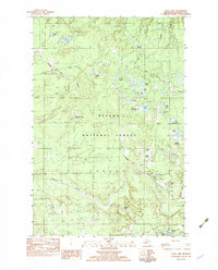
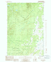
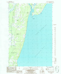
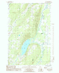
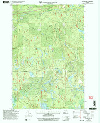
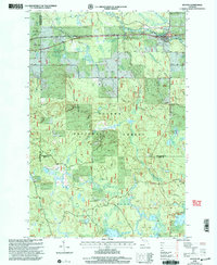
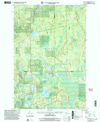
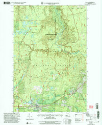
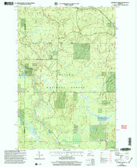
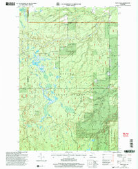
Historical Maps of Iron River Township Through Time
36 maps found
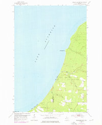
1946 Muggun Creek
Houghton County, MI
1948 Muggun Creek
Houghton County, MI
1954 Beacon Hill
Houghton County, MI
1954 Graveraet River
Houghton County, MI
1954 Oskar
Houghton County, MI
1954 Point Mills
Houghton County, MI
1954 Rice Lake
Houghton County, MI
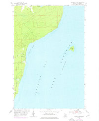
1954 Rockhouse Point
Houghton County, MI
1954 Rousseau
Houghton County, MI
1954 Traverse Island
Houghton County, MI
1954 Winona
Houghton County, MI
1978 Beacon Hill
Houghton County, MI
1978 Muggun Creek
Houghton County, MI
1978 Point Mills
Houghton County, MI
1978 Rice Lake
Houghton County, MI
1978 Rockhouse Point
Houghton County, MI
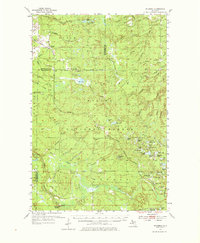
1982 Donken
Houghton County, MI
1982 Echo Lake
Houghton County, MI
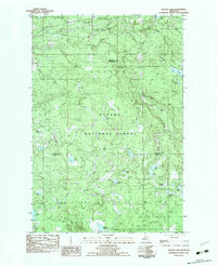
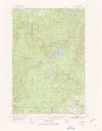
1982 Glitter Lake
Houghton County, MI
1982 Kenton
Houghton County, MI

1982 Nisula
Houghton County, MI

1982 Sparrow Rapids
Houghton County, MI
1982 Vista Falls
Houghton County, MI
1984 Pine Lake
Houghton County, MI
1984 Portage Entry
Houghton County, MI

1985 Marten Lake
Houghton County, MI
1985 Otter Lake
Houghton County, MI
1985 Prickett Lake
Houghton County, MI

1985 Sidnaw
Houghton County, MI
1999 Glitter Lake
Houghton County, MI
1999 Kenton
Houghton County, MI
1999 Marten Lake
Houghton County, MI
1999 Prickett Lake
Houghton County, MI
1999 Sidnaw
Houghton County, MI
1999 Sparrow Rapids
Houghton County, MI
1999 Vista Falls
Houghton County, MI
Featured Locations
- Houghton County, MI
- Iron River Township, MI
- Interior Township, MI
- Duncan Township, MI
- Kenton, Duncan Township