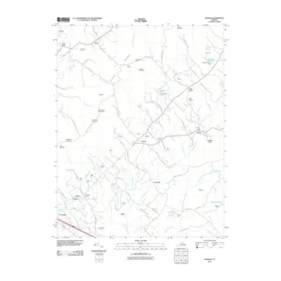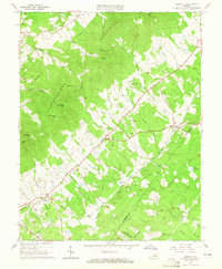
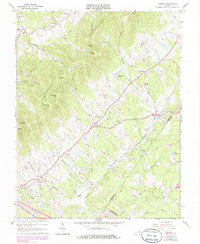
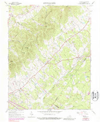
1964 Map of Keswick
USGS Topo · Published 1965About this map
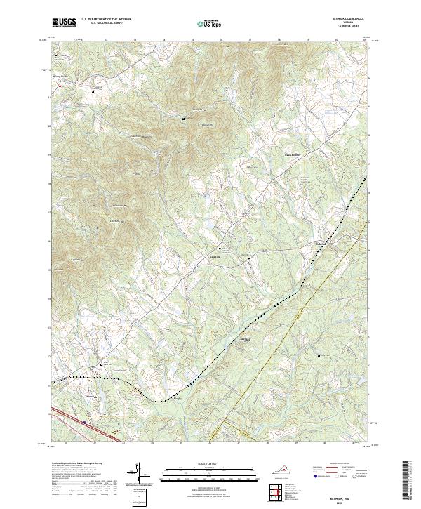
Southwestern Mountains form the prominent backbone of this Central Virginia landscape, dictating the settlement patterns and travel routes of the mid-1960s. The Chesapeake and Ohio railway corridor serves as a primary axis for rural communities like Keswick, Cismont, and Cobham. The map reveals a dense network of local landmarks, including historic spiritual centers such as Walkers Parish Ch, Zion Hill Ch, and St Andrews Chapel. Large estates and named peaks like Walnut Mtn and Broadhead Mtn define the topography, while the agricultural character of the era is preserved through detailed surveying of property lines and fence rows. The intersection of local history is evident in named burial sites like Shackelford Cem and the presence of a quarry near Peters Mtn, indicating the local industries that shaped Albemarle County.
Find a feature on this map
48 named features on this map. Tap any name to fly to it.
Don’t see what you’re looking for? This feature index may not catch every label — zoom into the map to look around manually.
Map Details
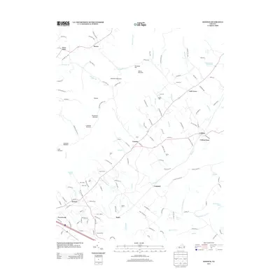
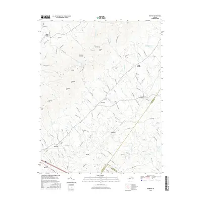
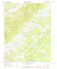
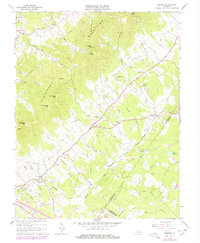
Editions of this 1964 Keswick Map
5 editions found
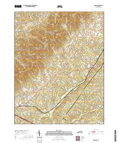
Historical Maps of Rivanna Through Time
7 maps found