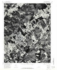
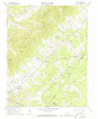
1964 Map of Keswick
USGS Topo · Published 1988About this map
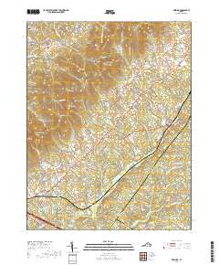
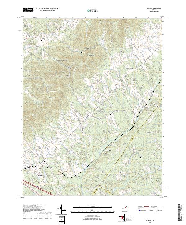
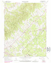
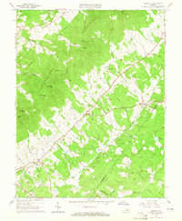
Southwest Mountains define the western geography of this Virginia landscape, where the Chesapeake and Ohio railroad corridor anchors several historic rural communities. The map provides a detailed view of the corridor between Keswick and Cobham, showing the distribution of local churches such as Walkers Parish Ch and St Andrews Chapel. Estate culture and long-standing land divisions are evident through landmarks like Castle Hill and the presence of numerous small family or community cemeteries throughout the hills. In the northeast, the terrain rises toward Peters Mtn and Walnut Mtn, separated by the Turkeysag Gap. The hydrological network is dominated by Mechunk Creek and its many tributaries, including Daniels Branch and Jacks Branch, which drain the valley floor toward Lake Senaham. These watercourses and the rail line dictated the settlement patterns of villages like Cismont and Stony Point.
Find a feature on this map
44 named features on this map. Tap any name to fly to it.
Don’t see what you’re looking for? This feature index may not catch every label — zoom into the map to look around manually.
Map Details
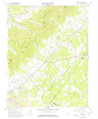
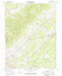
Editions of this 1964 Keswick Map
5 editions found
Historical Maps of Rivanna Through Time
7 maps found