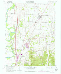
1961 Map of Kingston
USGS Topo · Published 1977About this map
Kingston stands as a focal point at the intersection of the Norfolk and Western and the Pickaway and Ross County line. This landscape, shaped by the Scioto River to the west, reflects a mid-century rural economy transitioning through infrastructure improvements. The valley is crisscrossed by railroads and prominent watercourses like Kinnikinnick Creek and Congo Creek. The map documents a blend of traditional community markers and mid-century car culture, from the Centralia Sch and Mt Pleasant Cem to a Drive-in Theater and multiple trailer parks. To the south, the terrain rises toward Sugarloaf and Bald Hill, where specialized topography includes numerous sand and gravel pits. The presence of the Mound City Group National Monument near Hopetown underscores the deep archaeological significance of the Scioto valley, preserved alongside active rail lines and modern utility substations.
Find a feature on this map
50 named features on this map. Tap any name to fly to it.
Don’t see what you’re looking for? This feature index may not catch every label — zoom into the map to look around manually.
Map Details
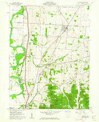
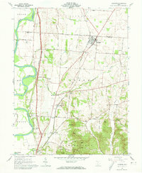
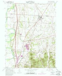
Editions of this 1961 Kingston Map
4 editions found
Other maps of this area

1906 · Chillicothe
USGS Topo · 1:62,500

1908 · Chillicothe
USGS Topo · 1:62,500

1911 · Era
USGS Topo · 1:62,500

1912 · Roxabell
USGS Topo · 1:62,500

1913 · Era
USGS Topo · 1:62,500

1914 · Roxabell
USGS Topo · 1:62,500

1914 · Circleville
USGS Topo · 1:62,500

1943 · Era
USGS Topo · 1:62,500

1943 · Circleville
USGS Topo · 1:62,500

1944 · Roxabell
USGS Topo · 1:62,500