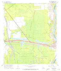
1968 Map of Krotz Springs
USGS Topo · Published 1972About this map
The Atchafalaya River and its complex flood control systems dominate this Louisiana landscape during the late 1960s. The town of Krotz Springs sits at a critical junction where the Missouri Pacific railroad and major highway corridors cross the river, serving as an industrial hub evidenced by the nearby Krotz Springs Oil and Gas Field and scattered gas wells. To the west, the settlement of Courtableau anchors a web of waterways, including the Bayou Courtableau and the Des Glaises Diversion Channel, which manage the flow through the Atchafalaya Basin Floodway.
Find a feature on this map
43 named features on this map. Tap any name to fly to it.
Don’t see what you’re looking for? This feature index may not catch every label — zoom into the map to look around manually.
Map Details
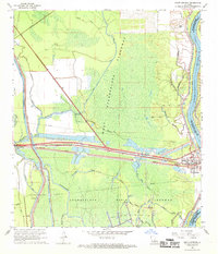
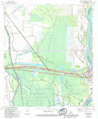
Editions of this 1968 Krotz Springs Map
3 editions found
Other maps of this area

1935 · Osca Bayou
USGS Topo · 1:62,500

1939 · Fordoche
USGS Topo · 1:62,500

1940 · Arnaudville
USGS Topo · 1:62,500

1954 · Baton Rouge
USGS Topo · 1:250,000

1955 · Osca Bayou
USGS Topo · 1:62,500

1955 · Fordoche
USGS Topo · 1:62,500

1956 · Baton Rouge
USGS Topo · 1:250,000
1959 · Osca Bayou
USGS Topo · 1:62,500

1959 · Fordoche
USGS Topo · 1:62,500

1959 · Palmetto
USGS Topo · 1:62,500