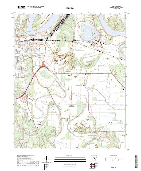
2024 Map of Ladd
USGS Topo · Published 2024About this map
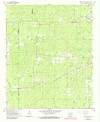
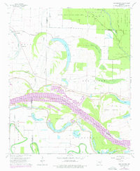
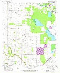
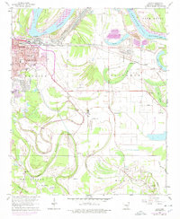
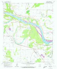
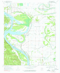
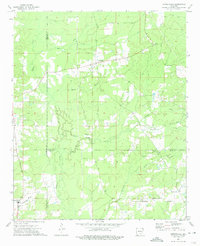
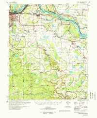
The winding course of Bayou Bartholomew snakes through the southern portion of this Jefferson County landscape, contrasting with the structured grid of southeastern Pine Bluff. This area south and east of the city is defined by its low-lying alluvial character, where the Arkansas River forms a wide northern boundary and oxbow features like Alice Brake and Glen Brake suggest the historic movement of the river's path. The map details a transition from the industrial and residential corridors of the city into a rural agricultural expanse punctuated by several historic family and community burial grounds, including Atkins Cem and Fairfield Cem. Centrally located, the Pine Bluff Regional Airport Grider Field occupies a significant footprint on Alexander Flat, while smaller settlements such as Glenlake, Fairfield, and the quadrangle's namesake Ladd serve as local hubs along the road network.
Find a feature on this map
98 named features on this map. Tap any name to fly to it.
Don’t see what you’re looking for? This feature index may not catch every label — zoom into the map to look around manually.
Map Details
Editions of this 2024 Ladd Map
This is the sole edition of this map. No revisions or reprints were ever made.
Historical Maps of Pine Bluff Through Time
23 maps found
1932 Pastoria
Jefferson County, AR
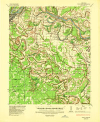
1935 Noble Lake
Jefferson County, AR
1935 Pastoria
Jefferson County, AR
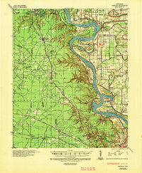
1962 Pine Bluff NW
Jefferson County, AR
1964 Cornerstone
Jefferson County, AR
1964 Gethsemane
Jefferson County, AR
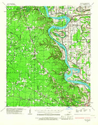
1964 Ladd
Jefferson County, AR
1964 Moscow
Jefferson County, AR
1964 Reydell
Jefferson County, AR
1964 Rob Roy
Jefferson County, AR
1970 Hardin
Jefferson County, AR
1970 Wright
Jefferson County, AR
1973 Cornerstone
Jefferson County, AR
1978 Noble Lake
Jefferson County, AR
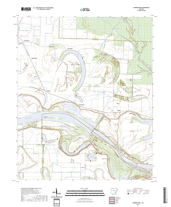
2024 Cornerstone
Jefferson County, AR
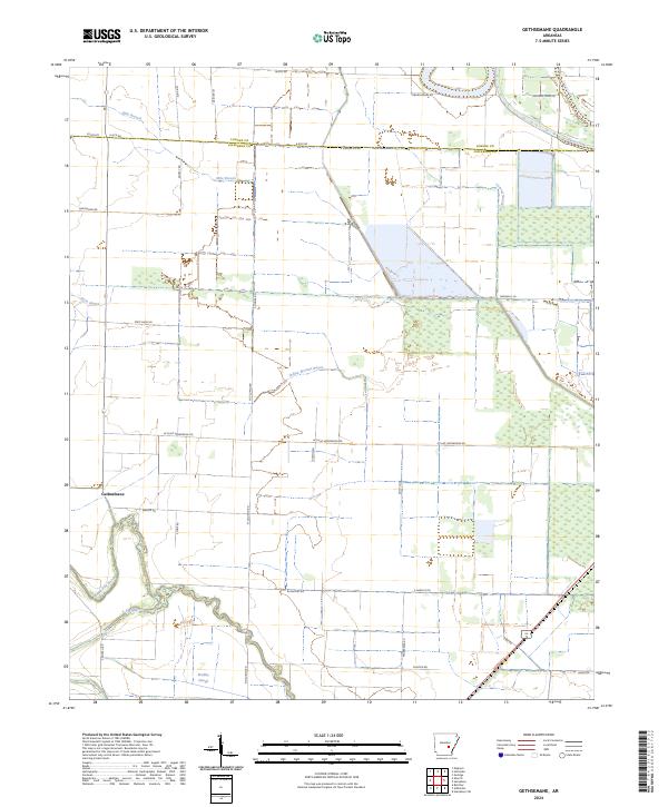
2024 Gethsemane
Jefferson County, AR
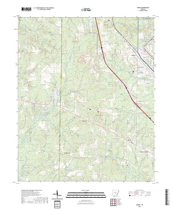
2024 Hardin
Jefferson County, AR
2024 Ladd
Jefferson County, AR
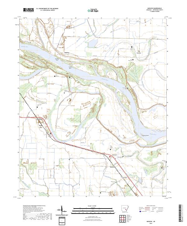
2024 Moscow
Jefferson County, AR
2024 Pine Bluff NW
Jefferson County, AR
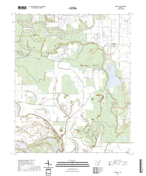
2024 Reydell
Jefferson County, AR
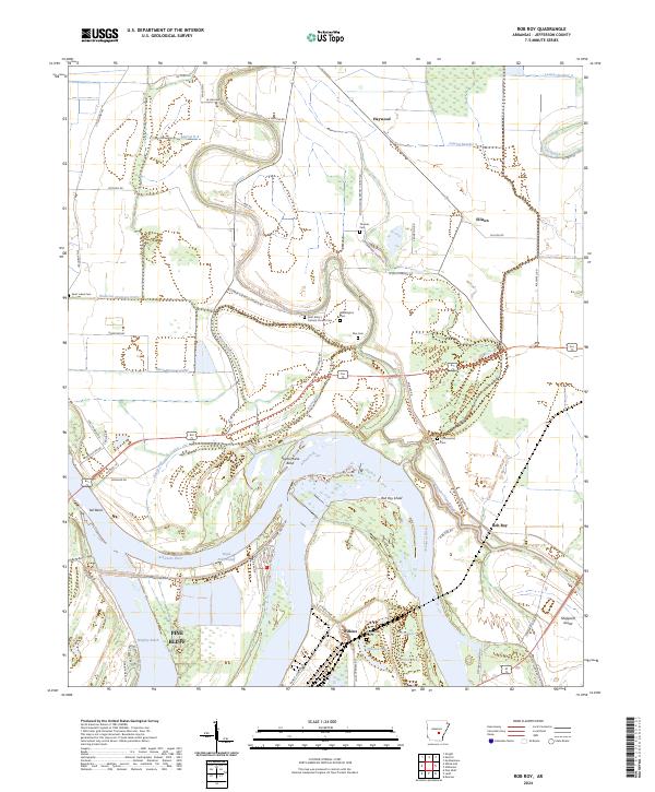
2024 Rob Roy
Jefferson County, AR
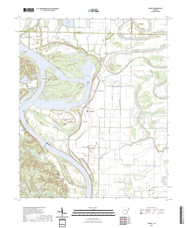
2024 Wright
Jefferson County, AR