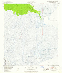
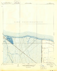
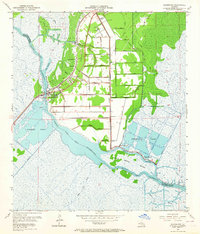
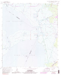
1952 Map of Lake Cataouatche West
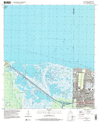
USGS Topo · Published 1953This historical map portrays the area of Lake Cataouatche West in 1952, primarily covering St. Charles Parish as well as portions of Lafourche Parish. Featuring a scale of 1:24000, this map provides a highly detailed snapshot of the terrain, roads, buildings, counties, and historical landmarks in the Lake Cataouatche West region at the time. Published in 1953, it is one of 2 known editions of this map due to revisions or reprints.
Find a feature on this map
18 named features on this map. Tap any name to fly to it.
Don’t see what you’re looking for? This feature index may not catch every label — zoom into the map to look around manually.
Map Details
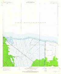
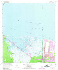
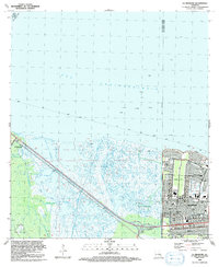
Editions of this 1952 Lake Cataouatche West Map
2 editions found
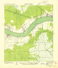
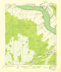
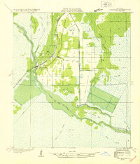
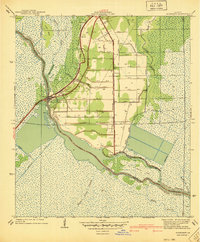
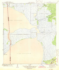
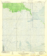
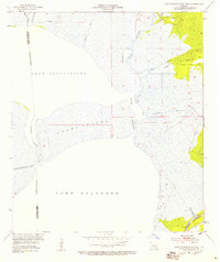
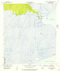
Historical Maps of St. Charles Parish Through Time
17 maps found
1932 Hahnville NE
St. Charles Parish, LA
1932 Hahnville NW
St. Charles Parish, LA
1932 Hahnville SW
St. Charles Parish, LA

1932 New Orleans SW
St. Charles Parish, LA
1938 La Branche
St. Charles Parish, LA
1940 Allemands
St. Charles Parish, LA
1942 Lake Cataouatche East
St. Charles Parish, LA
1942 Lake Cataouatche West
St. Charles Parish, LA
1952 Allemands
St. Charles Parish, LA
1952 La Branche
St. Charles Parish, LA
1952 Lake Cataouatche East
St. Charles Parish, LA
1952 Lake Cataouatche West
St. Charles Parish, LA
1966 Lake Cataouatche East
St. Charles Parish, LA
1967 La Branche
St. Charles Parish, LA
1967 Lake Cataouatche West
St. Charles Parish, LA
1992 La Branche
St. Charles Parish, LA
1999 La Branche
St. Charles Parish, LA