
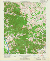
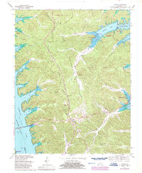
2022 Map of Lamasco
USGS Topo · Published 2022About this map
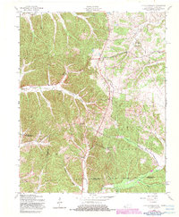
Lamasco and the surrounding borderlands of Lyon and Trigg Counties center on a landscape deeply shaped by the waters of Lake Barkley. The topography is defined by the winding drainages of Shelly Cr, Hurricane Cr, and McNabb Creek, which feed into the primary reservoir. Modern residential developments like Rockcastle Shores and Blue Water Estates sit in close proximity to foundational historical sites, illustrating the region's shift from a rural industrial hub to a lakefront community.
Find a feature on this map
69 named features on this map. Tap any name to fly to it.
Don’t see what you’re looking for? This feature index may not catch every label — zoom into the map to look around manually.
Map Details
Editions of this 2022 Lamasco Map
This is the sole edition of this map. No revisions or reprints were ever made.
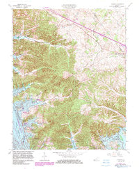
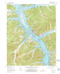
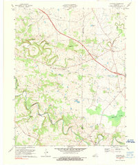
Historical Maps of Rockcastle Through Time
27 maps found
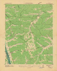
1936 Fenton
Trigg County, KY

1950 Caledonia
Trigg County, KY
1950 Fenton
Trigg County, KY

1951 Caledonia
Trigg County, KY

1951 Johnson Hollow
Trigg County, KY

1951 Model
Trigg County, KY

1951 Roaring Spring
Trigg County, KY
1953 Canton
Trigg County, KY

1953 Cobb
Trigg County, KY
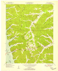
1953 Lamasco
Trigg County, KY
1957 Johnson Hollow
Trigg County, KY

1957 Model
Trigg County, KY
1957 Roaring Spring
Trigg County, KY
1967 Canton
Trigg County, KY
1967 Cobb
Trigg County, KY
1967 Fenton
Trigg County, KY
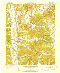
1967 Lamasco
Trigg County, KY
1967 Linton
Trigg County, KY
1974 Caledonia
Trigg County, KY
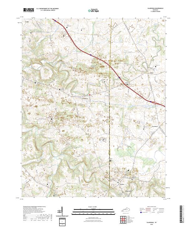
2022 Caledonia
Trigg County, KY
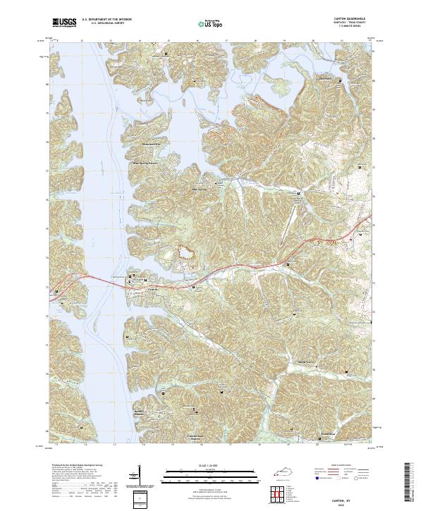
2022 Canton
Trigg County, KY
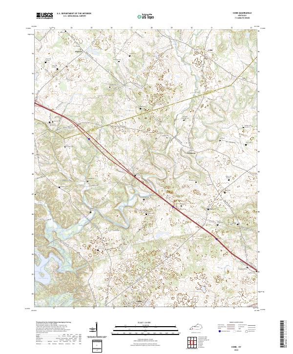
2022 Cobb
Trigg County, KY
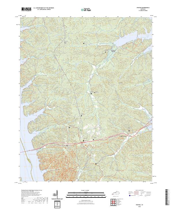
2022 Fenton
Trigg County, KY
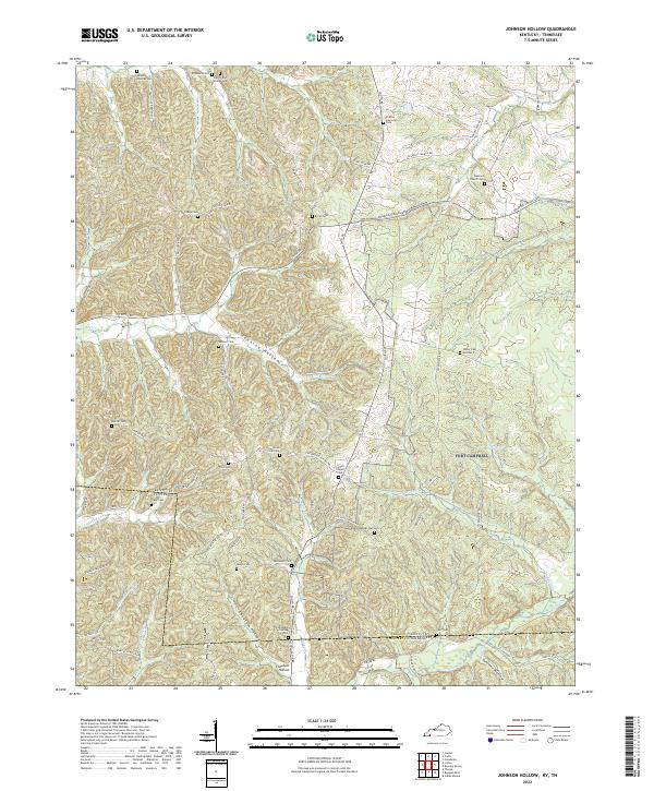
2022 Johnson Hollow
Trigg County, KY
2022 Lamasco
Trigg County, KY
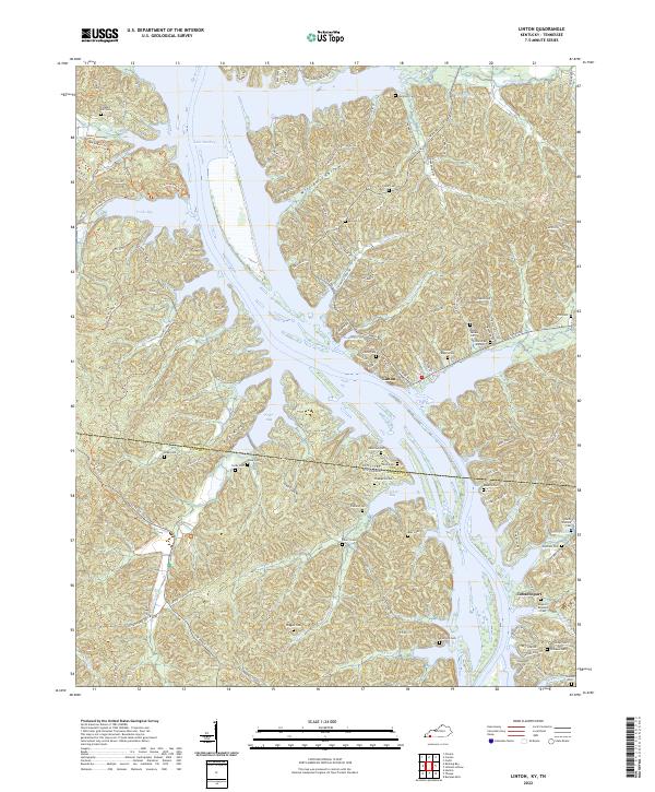
2022 Linton
Trigg County, KY
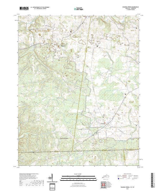
2022 Roaring Spring
Trigg County, KY