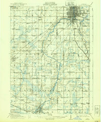
1912 Map of Lansing
USGS Topo · Published 1939About this map
Lansing and its southern surroundings emerge as a hub of rail activity and rural settlement in this early 20th-century survey. The confluence of the Grand River and Cedar River serves as the focal point for the state capital, where the Pere Marquette RR and Michigan Central RR intersect. Southward along the river’s winding course, industrial and agricultural life is anchored by smaller centers like Dimondale and Eaton Rapids, while the Southern Michigan Electric RR provides an early look at regional electric rail transit.
Find a feature on this map
92 named features on this map. Tap any name to fly to it.
Don’t see what you’re looking for? This feature index may not catch every label — zoom into the map to look around manually.
Map Details
Editions of this 1912 Lansing Map
4 editions found
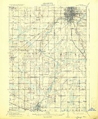
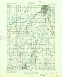
Other maps of this area

1909 · Mason
USGS Topo · 1:62,500

1910 · Lansing
USGS Topo · 1:62,500

1911 · Mason
USGS Topo · 1:62,500

1912 · Lansing
USGS Topo · 1:62,500

1919 · Springport
USGS Topo · 1:62,500

1919 · Rives Junction
USGS Topo · 1:62,500

1921 · Rives Junction
USGS Topo · 1:62,500

1921 · Springport
USGS Topo · 1:62,500

1921 · Marshall
USGS Topo · 1:62,500

1923 · Marshall
USGS Topo · 1:62,500