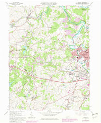
1964 Map of Latrobe
USGS Topo · Published 1979About this map
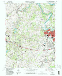
Industrial and ecclesiastical landscapes define this portion of Westmoreland County, centered on the city of Latrobe. The region's dual identity is evident in the dense concentration of coal mining infrastructure, including numerous Strip Mines, Tipples, and the St Vincent Shaft, existing alongside prominent Catholic institutions like St Vincent College and St Xavier Cem. The settlement pattern reflects the era's mining economy, with small patches like Hannastown, Luxor, and Hostetter clustered near extraction points and rail spurs.
Find a feature on this map
83 named features on this map. Tap any name to fly to it.
Don’t see what you’re looking for? This feature index may not catch every label — zoom into the map to look around manually.
Map Details
Editions of this 1964 Latrobe Map
5 editions found
Other maps of this area

1900 · Latrobe
USGS Topo · 1:62,500

1902 · Latrobe
USGS Topo · 1:62,500

1902 · Connellsville
USGS Topo · 1:62,500

1903 · Latrobe
USGS Topo · 1:62,500

1904 · Greensburg
USGS Topo · 1:62,500

1906 · Greensburg
USGS Topo · 1:62,500

1922 · Donegal
USGS Topo · 1:62,500

1931 · Connellsville
USGS Topo · 1:62,500

1935 · Donegal
USGS Topo · 1:62,500

1936 · Connellsville
USGS Topo · 1:62,500