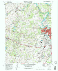
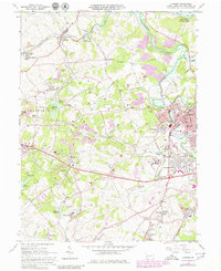
1964 Map of Latrobe
USGS Topo · Published 1993About this map
St Vincent College and the neighboring Carmelite Monastery form a significant institutional core south of Latrobe during the late twentieth century. This Westmoreland County landscape reveals a complex history of resource extraction, with numerous labels for Strip Mine, Mine, and Reclaimed Strip Mines scattered across the Dry Ridge area. The transition from industrial activity to modern land use is evident in the presence of Keystone State Park and Twin Lakes Park.
Find a feature on this map
81 named features on this map. Tap any name to fly to it.
Don’t see what you’re looking for? This feature index may not catch every label — zoom into the map to look around manually.
Map Details
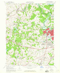
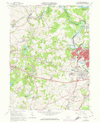
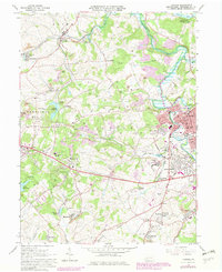
Editions of this 1964 Latrobe Map
5 editions found
Other maps of this area

1900 · Latrobe
USGS Topo · 1:62,500

1902 · Latrobe
USGS Topo · 1:62,500

1902 · Connellsville
USGS Topo · 1:62,500

1903 · Latrobe
USGS Topo · 1:62,500

1904 · Greensburg
USGS Topo · 1:62,500

1906 · Greensburg
USGS Topo · 1:62,500

1922 · Donegal
USGS Topo · 1:62,500

1931 · Connellsville
USGS Topo · 1:62,500

1935 · Donegal
USGS Topo · 1:62,500

1936 · Connellsville
USGS Topo · 1:62,500