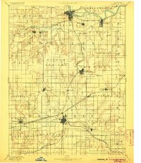
1889 Map of Lawrence
USGS Topo · Published 1905About this map
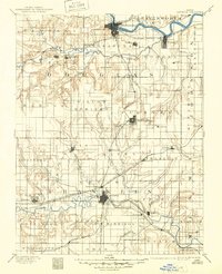
The Kansas River and the Marais Des Cygnes River valley define this late nineteenth-century landscape, which is marked by a rapidly expanding rail network. Major hubs like Lawrence and Ottawa are depicted as intricate street grids at the intersection of several lines, including the Union Pacific Railroad and the Southern Kansas Railroad. This era shows the density of rural Kansas life before the consolidation of many small settlements. Researchers can find numerous small stations and communities such as Belvoir, Clinton Station, and Prairie City that served as local agricultural hubs. Distinctive landforms like Blue Mound and the Three Sisters provide vertical relief in an otherwise systematically divided township and range grid. The presence of several junction points, such as Lawrence Junction and Burlington Junction, illustrates how the movement of people and goods shaped the growth of eastern Kansas.
Find a feature on this map
84 named features on this map. Tap any name to fly to it.
Don’t see what you’re looking for? This feature index may not catch every label — zoom into the map to look around manually.
Map Details
Editions of this 1889 Lawrence Map
6 editions found
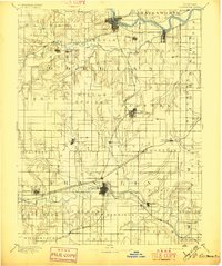
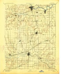
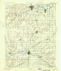
Other maps of this area

1885 · Burlington
USGS Topo · 1:125,000

1885 · Garnett
USGS Topo · 1:125,000

1885 · Lawrence
USGS Topo · 1:125,000

1886 · Oskaloosa
USGS Topo · 1:125,000

1887 · Olathe
USGS Topo · 1:125,000

1887 · Mound City
USGS Topo · 1:125,000

1888 · Oskaloosa
USGS Topo · 1:125,000

1889 · Burlingame
USGS Topo · 1:125,000

1889 · Topeka
USGS Topo · 1:125,000

1889 · Lawrence
USGS Topo · 1:125,000