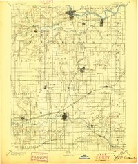
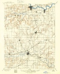
1889 Map of Lawrence
USGS Topo · Published 1897About this map
The Kansas River flows through the northern reaches of this late-19th-century survey, anchoring the development of Lawrence and North Lawrence. To the south, the Marais Des Cygnes River winds through the county seat of Ottawa, revealing a landscape defined by its river valleys and an burgeoning rail network. This map documents a critical era of Kansas growth, where the Union Pacific Railroad and the Atchison Topeka and Santa Fe Railroad provided the vital lifelines for agricultural commerce.
Find a feature on this map
90 named features on this map. Tap any name to fly to it.
Don’t see what you’re looking for? This feature index may not catch every label — zoom into the map to look around manually.
Map Details
Editions of this 1889 Lawrence Map
6 editions found
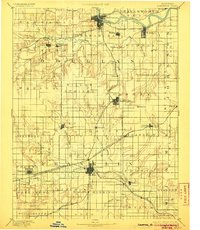
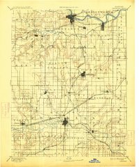
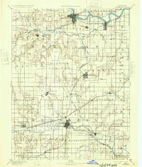
Other maps of this area

1885 · Burlington
USGS Topo · 1:125,000

1885 · Garnett
USGS Topo · 1:125,000

1885 · Lawrence
USGS Topo · 1:125,000

1886 · Oskaloosa
USGS Topo · 1:125,000

1887 · Olathe
USGS Topo · 1:125,000

1887 · Mound City
USGS Topo · 1:125,000

1888 · Oskaloosa
USGS Topo · 1:125,000

1889 · Burlingame
USGS Topo · 1:125,000

1889 · Topeka
USGS Topo · 1:125,000

1889 · Lawrence
USGS Topo · 1:125,000