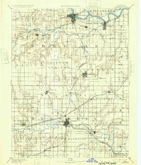
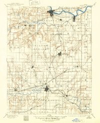
1889 Map of Lawrence
USGS Topo · Published 1932About this map
The Kansas River and Marais Des Cygnes River systems define the settlement patterns of Douglas and Franklin counties in this late 19th-century reconnaissance. The northern half is dominated by the Union Pacific Railroad corridor, where Lawrence serves as a primary hub. To the south, Ottawa emerges as a critical rail junction where the Southern Kansas Railroad meets lines like the Council Grove Osage City and Ottawa Railroad. Smaller settlements such as Vinland, Clinton, and Centropolis are documented alongside natural landmarks like Blue Mound and the Three Sisters water features. The map illustrates a transitional landscape where established river towns and newer rail stops like Wellsville and Baldwin City were beginning to shape the economic geography of eastern Kansas.
Find a feature on this map
85 named features on this map. Tap any name to fly to it.
Don’t see what you’re looking for? This feature index may not catch every label — zoom into the map to look around manually.
Map Details
Editions of this 1889 Lawrence Map
6 editions found
Other maps of this area

1885 · Burlington
USGS Topo · 1:125,000

1885 · Garnett
USGS Topo · 1:125,000

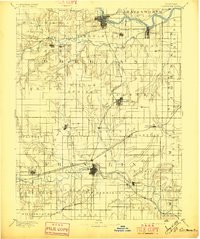
1885 · Lawrence
USGS Topo · 1:125,000

1886 · Oskaloosa
USGS Topo · 1:125,000

1887 · Olathe
USGS Topo · 1:125,000

1887 · Mound City
USGS Topo · 1:125,000

1888 · Oskaloosa
USGS Topo · 1:125,000

1889 · Burlingame
USGS Topo · 1:125,000

1889 · Topeka
USGS Topo · 1:125,000

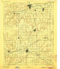
1889 · Lawrence
USGS Topo · 1:125,000