
1910 Map of Leavenworth
USGS Topo · Published 1910About this map
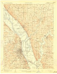
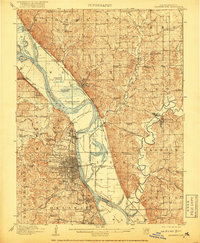
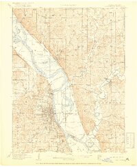
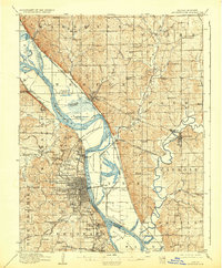
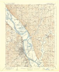
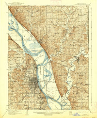
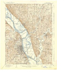
The Fort Leavenworth Military Reservation dominates the landscape along the western banks of the Missouri River, serving as a central anchor for this 1910 survey. The area is a complex network of federal and institutional lands, including the U S Penitentiary Reserve, the National Military Home, and St Marys Academy. These established sites contrast with the dynamic river geography, characterized by features like Kickapoo Island and Stigers Island, and the low-lying Fancy Bottoms School district.
Find a feature on this map
109 named features on this map. Tap any name to fly to it.
Don’t see what you’re looking for? This feature index may not catch every label — zoom into the map to look around manually.
Map Details
Editions of this 1910 Leavenworth Map
8 editions found
Other maps of this area

1885 · Atchison
USGS Topo · 1:125,000

1886 · Oskaloosa
USGS Topo · 1:125,000

1888 · Oskaloosa
USGS Topo · 1:125,000

1888 · Atchison
USGS Topo · 1:125,000

1890 · Kansas City
USGS Topo · 1:125,000

1893 · Atchison
USGS Topo · 1:125,000

1894 · Kansas City
USGS Topo · 1:125,000

1894 · Oskaloosa
USGS Topo · 1:125,000

1914 · Smithville
USGS Topo · 1:62,500

1925 · Gower
USGS Topo · 1:62,500