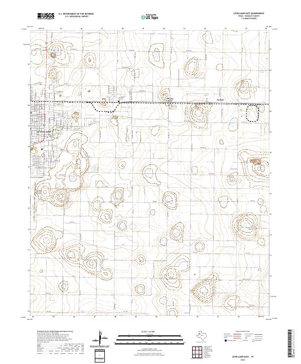
2022 Map of Levelland East
USGS Topo · Published 2022About this map
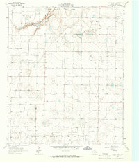
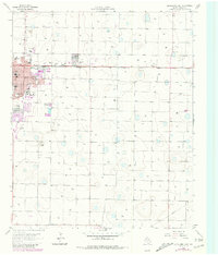
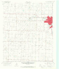
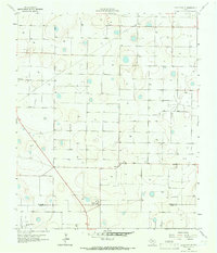
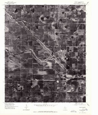
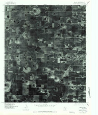
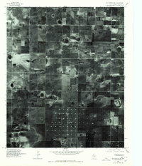
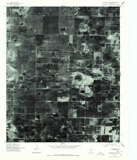
Levelland serves as the focal point of this South Plains landscape, characterized by a highly organized grid of rural roads and agricultural plots in eastern Hockley County. The presence of South Plains College near the town center highlights the area's development as an educational hub, while the Levelland Municipal Airport to the west marks its role in regional transportation. Beyond the main townsite, the smaller communities of Opdyke West and Opdyke are situated along the east-west corridor of highway 114.
Find a feature on this map
88 named features on this map. Tap any name to fly to it.
Don’t see what you’re looking for? This feature index may not catch every label — zoom into the map to look around manually.
Map Details
Editions of this 2022 Levelland East Map
This is the sole edition of this map. No revisions or reprints were ever made.
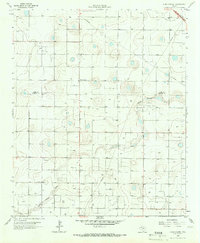
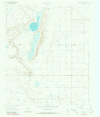
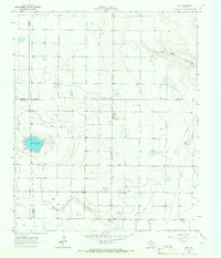
Historical Maps of Opdyke Through Time
24 maps found
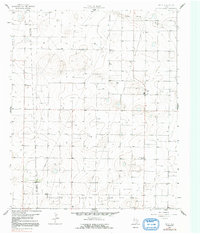
1964 Lums Chapel
Hockley County, TX
1964 Oklahoma Flat
Hockley County, TX
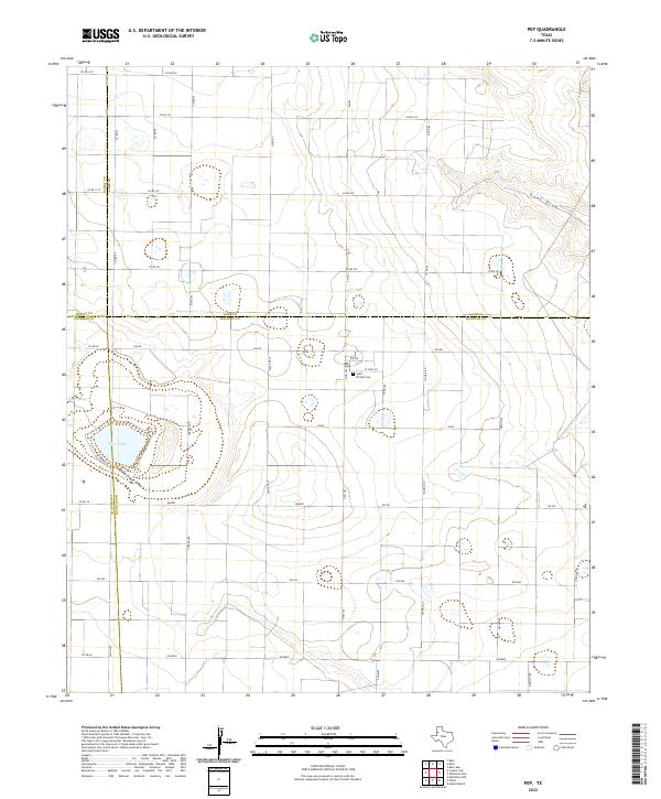
1964 Pep
Hockley County, TX
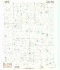
1965 Hester Ranch
Hockley County, TX
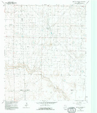
1965 Levelland East
Hockley County, TX
1965 Levelland West
Hockley County, TX
1965 Lockettville
Hockley County, TX
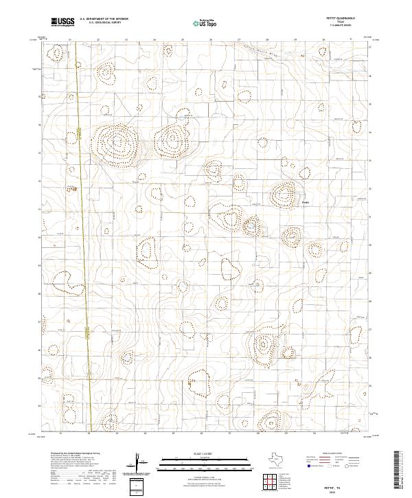
1965 Pettit
Hockley County, TX
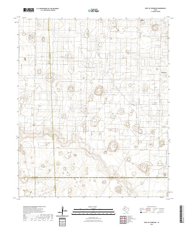
1965 West of Sundown
Hockley County, TX
1976 Anton SW
Hockley County, TX
1976 Meadow NW
Hockley County, TX
1976 Wolfforth NW
Hockley County, TX
1976 Wolfforth SW
Hockley County, TX
1985 Wolfforth NW
Hockley County, TX
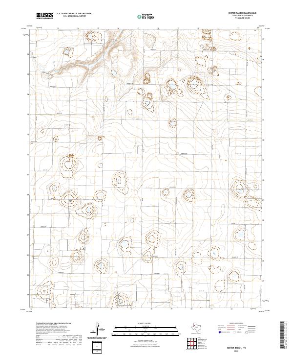
2022 Hester Ranch
Hockley County, TX
2022 Levelland East
Hockley County, TX
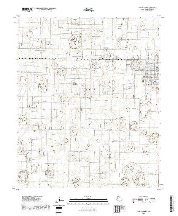
2022 Levelland West
Hockley County, TX
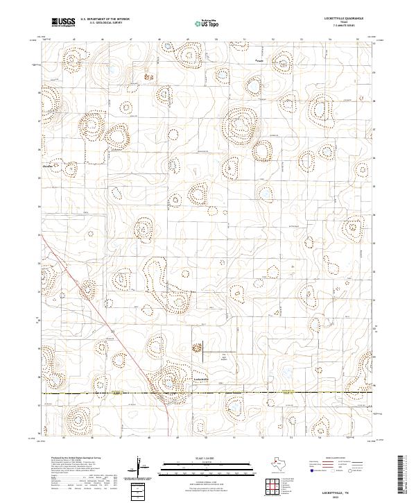
2022 Lockettville
Hockley County, TX
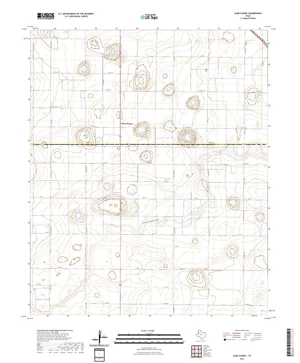
2022 Lums Chapel
Hockley County, TX
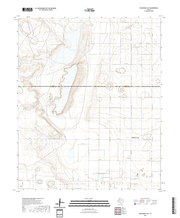
2022 Oklahoma Flat
Hockley County, TX
2022 Pep
Hockley County, TX
2022 Pettit
Hockley County, TX
2022 West of Sundown
Hockley County, TX
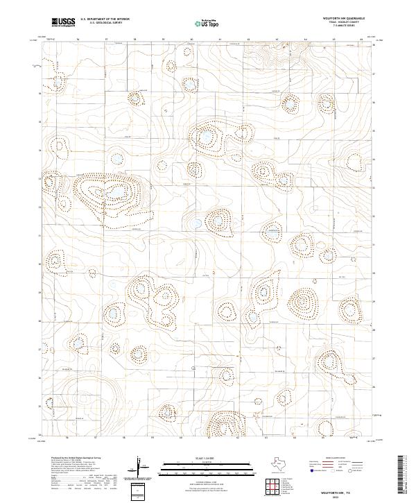
2022 Wolfforth NW
Hockley County, TX