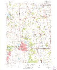
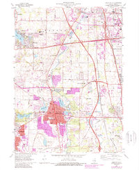
1960 Map of Libertyville
USGS Topo · Published 1962About this map
The Des Plaines River corridor in Lake County is captured here during a period of significant suburban expansion and institutional development. The landscape is characterized by its large-scale religious and educational complexes, such as the sprawling St Marys of the Lake Seminary and the St Sava Monastery. To the east, the Great Lakes Naval Training Center signals the military footprint near the lakeshore. Transportation is a defining feature of this 1960 era, with the recently established Tri-State Tollway cutting north-south across the quadrangle, intersecting a dense web of older rail lines like the Chicago and North Western and the Chicago North Shore and Milwaukee. Small residential developments like Wildwood and Idlewild contrast with the established centers of Libertyville and Mundelein, where local services including the Condell Memorial Hospital and numerous neighborhood schools like Rockland Sch are clearly marked.
Find a feature on this map
71 named features on this map. Tap any name to fly to it.
Don’t see what you’re looking for? This feature index may not catch every label — zoom into the map to look around manually.
Map Details
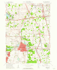
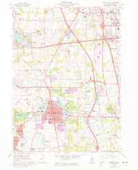
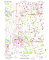
Editions of this 1960 Libertyville Map
5 editions found
Other maps of this area

1900 · Highwood
USGS Topo · 1:62,500

1906 · Waukegan
USGS Topo · 1:62,500

1908 · Waukegan
USGS Topo · 1:62,500

1920 · Grays Lake
USGS Topo · 1:62,500

1923 · Grays Lake
USGS Topo · 1:62,500

1923 · Barrington
USGS Topo · 1:62,500

1928 · Wheeling
USGS Topo · 1:24,000

1928 · Highland Park
USGS Topo · 1:24,000

1935 · Barrington
USGS Topo · 1:62,500

1951 · Highland Park
USGS Topo · 1:24,000