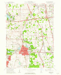
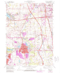
1960 Map of Libertyville
USGS Topo · Published 1962About this map
Libertyville and the surrounding Lake County landscape show a mix of established village life and expanding post-war infrastructure. The village core is dense with civic landmarks, including the Condell Memorial Hospital, the Water City Hall PO, and several local campuses like Highland Sch and Copeland Manor Sch. These residential and institutional areas are bounded by a complex transport network, where the newly built Tri-State Tollway intersects older routes like the Milwaukee Road and the Elgin Joliet and Eastern Railway.
Find a feature on this map
64 named features on this map. Tap any name to fly to it.
Don’t see what you’re looking for? This feature index may not catch every label — zoom into the map to look around manually.
Map Details
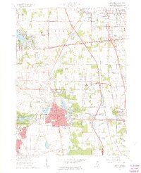
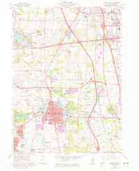
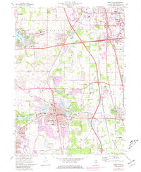
Editions of this 1960 Libertyville Map
5 editions found
Other maps of this area

1900 · Highwood
USGS Topo · 1:62,500

1906 · Waukegan
USGS Topo · 1:62,500

1908 · Waukegan
USGS Topo · 1:62,500

1920 · Grays Lake
USGS Topo · 1:62,500

1923 · Grays Lake
USGS Topo · 1:62,500

1923 · Barrington
USGS Topo · 1:62,500

1928 · Wheeling
USGS Topo · 1:24,000

1928 · Highland Park
USGS Topo · 1:24,000

1935 · Barrington
USGS Topo · 1:62,500

1951 · Highland Park
USGS Topo · 1:24,000