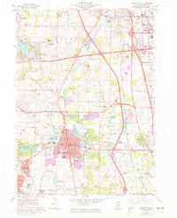
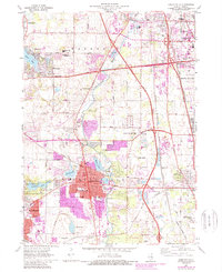
1960 Map of Libertyville
USGS Topo · Published 1973About this map
The Des Plaines River corridor serves as the central spine for this 1960s Lake County survey, which was updated in the early 1970s to reflect rapid suburbanization. The landscape is a complex mix of established municipalities like Libertyville and Mundelein alongside institutional landmarks such as St Marys of the Lake Seminary and St Sava Monastery. The arrival of the Tri-State Tollway is clearly visible, cutting through the eastern half of the map and signaling the shift toward a commuter-driven economy.
Find a feature on this map
74 named features on this map. Tap any name to fly to it.
Don’t see what you’re looking for? This feature index may not catch every label — zoom into the map to look around manually.
Map Details
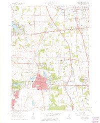
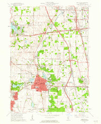
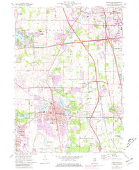
Editions of this 1960 Libertyville Map
5 editions found
Other maps of this area

1900 · Highwood
USGS Topo · 1:62,500

1906 · Waukegan
USGS Topo · 1:62,500

1908 · Waukegan
USGS Topo · 1:62,500

1920 · Grays Lake
USGS Topo · 1:62,500

1923 · Grays Lake
USGS Topo · 1:62,500

1923 · Barrington
USGS Topo · 1:62,500

1928 · Wheeling
USGS Topo · 1:24,000

1928 · Highland Park
USGS Topo · 1:24,000

1935 · Barrington
USGS Topo · 1:62,500

1951 · Highland Park
USGS Topo · 1:24,000