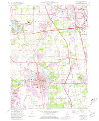
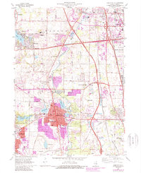
1960 Map of Libertyville
USGS Topo · Published 1981About this map
The Des Plaines River corridor defines this portion of Lake County, Illinois, as it appeared before the surge of late-twentieth-century suburbanization. The map documents a landscape transitioning from rural institutional uses to a dense commuter network, anchored by the substantial grounds of St Marys of the Lake Seminary and the St Sava Monastery. To the east, the Great Lakes Naval Training Center signals the significant military presence near North Chicago, while the Tri-State Tollway and the Chicago Milwaukee St Paul and Pacific railroad lines provide the structural backbone for the growing communities of Libertyville, Mundelein, and Gurnee.
Find a feature on this map
63 named features on this map. Tap any name to fly to it.
Don’t see what you’re looking for? This feature index may not catch every label — zoom into the map to look around manually.
Map Details
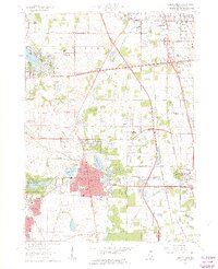
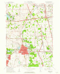
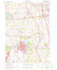
Editions of this 1960 Libertyville Map
5 editions found
Other maps of this area

1900 · Highwood
USGS Topo · 1:62,500

1906 · Waukegan
USGS Topo · 1:62,500

1908 · Waukegan
USGS Topo · 1:62,500

1920 · Grays Lake
USGS Topo · 1:62,500

1923 · Grays Lake
USGS Topo · 1:62,500

1923 · Barrington
USGS Topo · 1:62,500

1928 · Wheeling
USGS Topo · 1:24,000

1928 · Highland Park
USGS Topo · 1:24,000

1935 · Barrington
USGS Topo · 1:62,500

1951 · Highland Park
USGS Topo · 1:24,000