
2022 Map of Lick Creek
USGS Topo · Published 2022About this map
The Levisa Fork cuts a winding path through the complex topography of eastern Kentucky, anchoring a network of narrow hollows and ridge-line communities. Small settlements follow the river's edge and the deeper valleys of its tributaries, including Woodside, Biggs, and Mouthcard. The landscape is characterized by a dense concentration of named hollows like Feds Hollow and Happy Hollow, alongside numerous family-named landmarks that reflect generations of local residency. Higher elevations are marked by features such as Hunt Knob, while the valley floors contain legacy sites including the Good Cem and Hunt Cem. Modern infrastructure, including Fishtrap Lake Rd and Upper Johns Creek Rd, traces the same ancient geographic corridors established by the region's river and creek systems.
Find a feature on this map
99 named features on this map. Tap any name to fly to it.
Don’t see what you’re looking for? This feature index may not catch every label — zoom into the map to look around manually.
Map Details
Editions of this 2022 Lick Creek Map
This is the sole edition of this map. No revisions or reprints were ever made.
Historical Maps of Biggs Through Time
32 maps found

1914 Vergie
Pike County, KY

1915 Regina
Pike County, KY

1917 Regina
Pike County, KY

1954 Broad Bottom
Pike County, KY

1954 Dorton
Pike County, KY

1954 Hellier
Pike County, KY

1954 Jamboree
Pike County, KY

1954 Lick Creek
Pike County, KY

1954 Meta
Pike County, KY

1954 Millard
Pike County, KY

1954 Varney
Pike County, KY

1963 Jamboree
Pike County, KY

1978 Lick Creek
Pike County, KY

1978 Meta
Pike County, KY

1978 Millard
Pike County, KY

1979 Broad Bottom
Pike County, KY

1992 Broad Bottom
Pike County, KY

1992 Dorton
Pike County, KY

1992 Jenkins East
Pike County, KY

1992 Meta
Pike County, KY

1992 Varney
Pike County, KY

2001 Majestic
Pike County, KY

2022 Broad Bottom
Pike County, KY
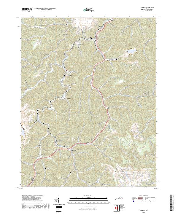
2022 Dorton
Pike County, KY
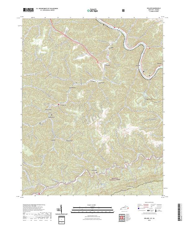
2022 Hellier
Pike County, KY

2022 Jamboree
Pike County, KY
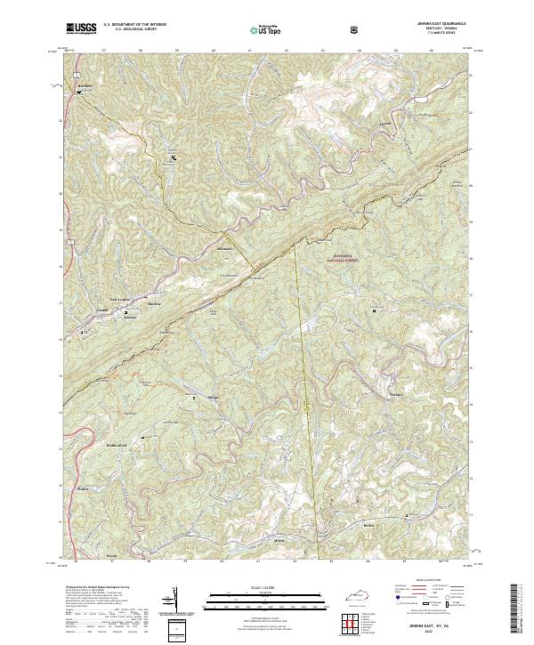
2022 Jenkins East
Pike County, KY
2022 Lick Creek
Pike County, KY

2022 Majestic
Pike County, KY

2022 Meta
Pike County, KY

2022 Millard
Pike County, KY

2022 Varney
Pike County, KY