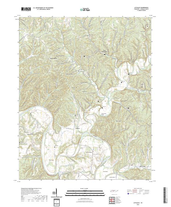
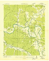
2022 Map of Littlelot
USGS Topo · Published 2022About this map
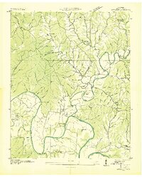
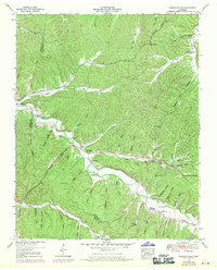
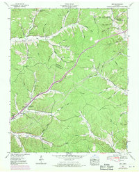
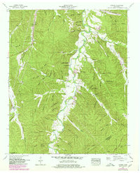
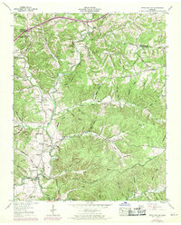
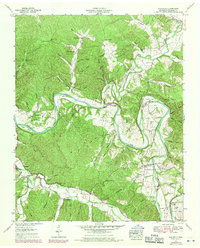
The Duck River meanders through this portion of Hickman County, shaping a landscape of steep hollows and narrow ridges. The settlement of Littlelot serves as a central point in a region defined by its water systems, where Lick Creek and numerous smaller branches like Stillhouse Br and Massie Shoal Br carve through the terrain. The map reveals a deeply rooted rural community, evidenced by the high density of family cemeteries including Primm Cem, McFarland Cem, and Cheairs Cem, many of which are tucked into the drainages of named hollows like Willow Thicket Hollow and Newground Hollow.
Find a feature on this map
168 named features on this map. Tap any name to fly to it.
Don’t see what you’re looking for? This feature index may not catch every label — zoom into the map to look around manually.
Map Details
Editions of this 2022 Littlelot Map
This is the sole edition of this map. No revisions or reprints were ever made.
Historical Maps of Dogwood Flat Through Time
28 maps found
1936 Beaverdam Springs
Hickman County, TN
1936 Coble
Hickman County, TN
1936 Greenfield Bend
Hickman County, TN
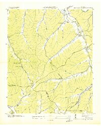
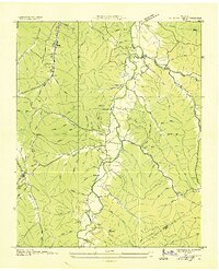
1936 Littlelot
Hickman County, TN
1936 Nunnelly
Hickman County, TN
1936 Pleasantville
Hickman County, TN
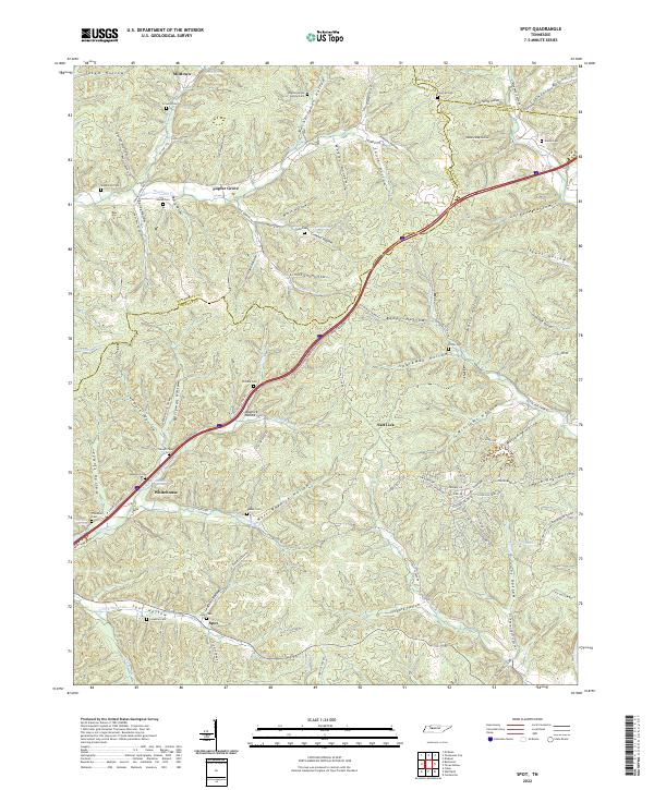
1936 Spot
Hickman County, TN
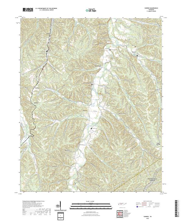
1936 Sunrise
Hickman County, TN
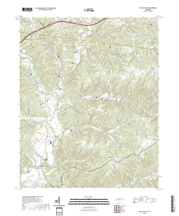
1936 Texas Hollow
Hickman County, TN
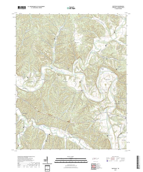
1936 Whitfield
Hickman County, TN
1951 Greenfield Bend
Hickman County, TN
1951 Pleasantville
Hickman County, TN
1952 Beaverdam Springs
Hickman County, TN
1952 Coble
Hickman County, TN
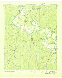
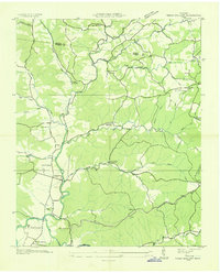
1952 Littlelot
Hickman County, TN
1952 Spot
Hickman County, TN
1952 Sunrise
Hickman County, TN
1952 Texas Hollow
Hickman County, TN
1952 Whitfield
Hickman County, TN
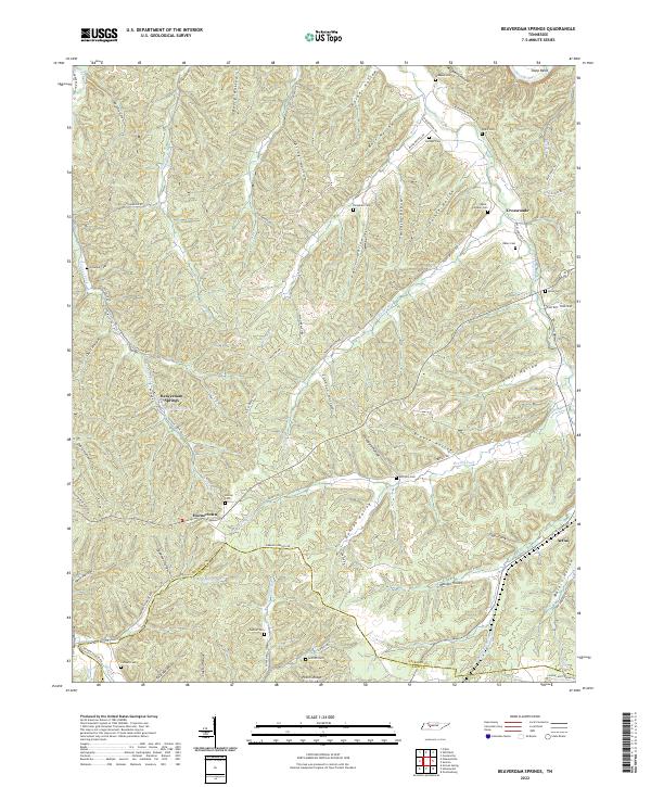
2022 Beaverdam Springs
Hickman County, TN
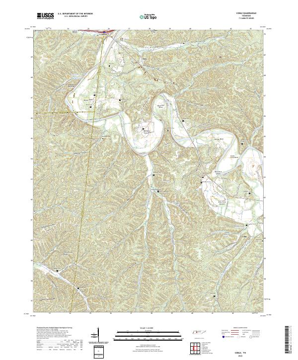
2022 Coble
Hickman County, TN
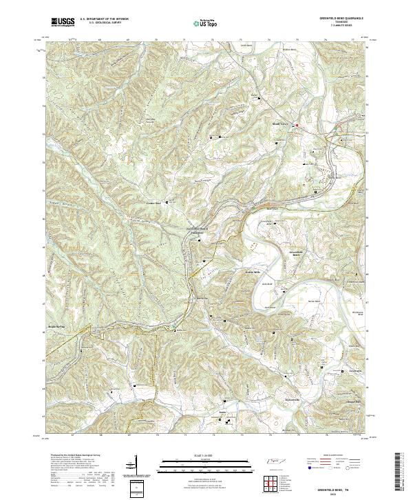
2022 Greenfield Bend
Hickman County, TN
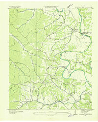
2022 Littlelot
Hickman County, TN
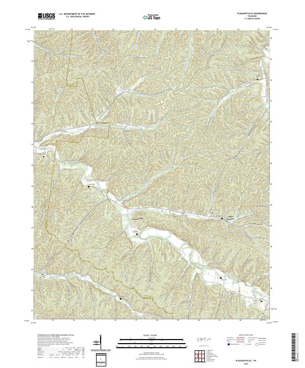
2022 Pleasantville
Hickman County, TN
2022 Spot
Hickman County, TN
2022 Sunrise
Hickman County, TN
2022 Texas Hollow
Hickman County, TN
2022 Whitfield
Hickman County, TN