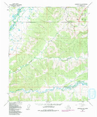
1953 Map of Livengood A-3
USGS Topo · Published 1987About this map
The Trans-Alaska Pipeline and Elliott Highway carve through the interior landscape of the Fairbanks North Star Borough, illustrating the infrastructure required to traverse this subarctic region. The terrain is defined by the winding course of the Chatanika River in the south and the Tolovana River in the northwest, which drain the surrounding highlands including Wickersham Dome. In the northeast, the White Mountains National Recreation Area covers a significant portion of the White Mountains. This 1953 survey, updated with 1975 aerial revisions, documents a transitional era where traditional wilderness landmarks like the isolated Cabin and the remote Hayes landmark meet modern industrial expansion. Numerous waterways, such as Washington Creek, Aggie Creek, and Murphy Creek, detail the drainage patterns essential for early geological and navigational planning in the Alaska interior.
Find a feature on this map
17 named features on this map. Tap any name to fly to it.
Don’t see what you’re looking for? This feature index may not catch every label — zoom into the map to look around manually.
Map Details
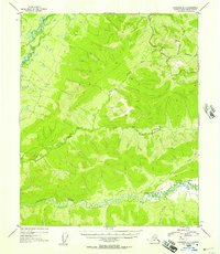
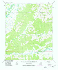
Editions of this 1953 Livengood A-3 Map
4 editions found

Other maps of this area

1945 · Livengood
USGS Topo · 1:250,000

1949 · Fairbanks D-2
USGS Topo · 1:62,500

1949 · Fairbanks D-3
USGS Topo · 1:63,360

1949 · Fairbanks D-4
USGS Topo · 1:63,360

1950 · Fairbanks
USGS Topo · 1:250,000

1950 · Fairbanks D-3
USGS Topo · 1:63,360

1951 · Fairbanks
USGS Topo · 1:250,000

1951 · Livengood
USGS Topo · 1:250,000

1951 · Livengood B-2
USGS Topo · 1:63,360

1951 · Livengood A-4
USGS Topo · 1:63,360