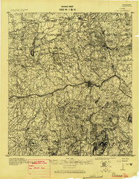
1918 Map of Llano
USGS Topo · Published 1918About this map
Llano serves as the focal point of this 1918 military survey, situated where the Llano River cuts through the rocky uplands of the Texas Hill Country. This Progressive Military Map, prepared by the Corps of Engineers U.S. Army, captures the region's transition from a ranching frontier to a more established rural landscape. Family-run operations like Atkinson's Ranch and Kuykendall's Ranch define the northern range, while the density of named peaks such as Smoothingiron Mt. and Babyhead Mt. illustrates the complex topography that dictated early travel routes.
Find a feature on this map
84 named features on this map. Tap any name to fly to it.
Don’t see what you’re looking for? This feature index may not catch every label — zoom into the map to look around manually.
Map Details
Editions of this 1918 Llano Map
This is the sole edition of this map. No revisions or reprints were ever made.
Other maps of this area
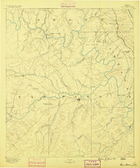
1885 · San Saba
USGS Topo · 1:125,000
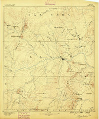
1887 · Llano
USGS Topo · 1:125,000
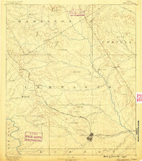
1887 · Lampasas
USGS Topo · 1:125,000

1887 · Blanco
USGS Topo · 1:125,000
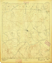
1887 · Mason
USGS Topo · 1:125,000

1887 · Burnet
USGS Topo · 1:125,000

1893 · Burnet
USGS Topo · 1:125,000
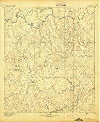
1894 · Brady
USGS Topo · 1:125,000
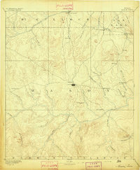
1894 · Mason
USGS Topo · 1:125,000
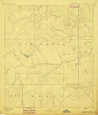
1894 · Fredericksburg
USGS Topo · 1:125,000