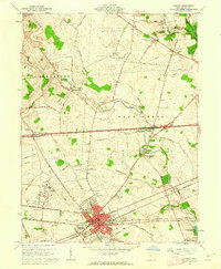
1961 Map of London
USGS Topo · Published 1962About this map
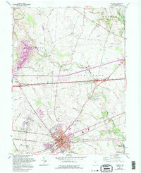
London serves as the focal point of this Madison County landscape, where the confluence of the New York Central Railroad and the Pennsylvania Railroad illustrates the area's mid-century role as a transportation hub. The town's grid is dense with civic landmarks, including the Courthouse, County Hospital, and the County Fairgrounds, while the London Correctional Institution occupies a significant tract to the west. Surrounding the urban center, the landscape transitions into the agricultural townships of Somerford and Union, drained by the meandering Glade Run and Deer Creek.
Find a feature on this map
61 named features on this map. Tap any name to fly to it.
Don’t see what you’re looking for? This feature index may not catch every label — zoom into the map to look around manually.
Map Details
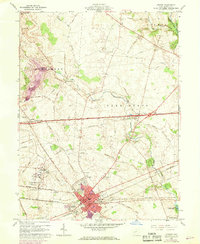
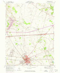
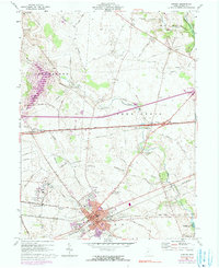
Editions of this 1961 London Map
5 editions found
Other maps of this area

1907 · London
USGS Topo · 1:62,500

1907 · South Charleston
USGS Topo · 1:62,500

1914 · Mechanicsburg
USGS Topo · 1:62,500

1916 · Mechanicsburg
USGS Topo · 1:62,500

1916 · Milford Center
USGS Topo · 1:62,500

1944 · Mechanicsburg
USGS Topo · 1:62,500

1944 · Milford Center
USGS Topo · 1:62,500

1947 · Columbus
USGS Topo · 1:250,000

1950 · Marion
USGS Topo · 1:250,000

1961 · Columbus
USGS Topo · 1:250,000