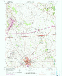
1961 Map of London
USGS Topo · Published 1990About this map
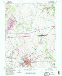
London serves as the focal point of this Madison County landscape, where the London Correctional Institution and the County Fairgrounds anchor the southwestern corner of the quadrangle. The town's layout is defined by the intersection of early transportation corridors, including the Penn Central rail line and the historic National Road, which passes through the northern settlements of Summerford and Lafayette. These routes speak to the area's role as a transit hub between larger Ohio centers during the mid-20th century.
Find a feature on this map
54 named features on this map. Tap any name to fly to it.
Don’t see what you’re looking for? This feature index may not catch every label — zoom into the map to look around manually.
Map Details
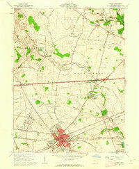
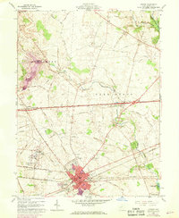
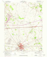
Editions of this 1961 London Map
5 editions found
Other maps of this area

1907 · London
USGS Topo · 1:62,500

1907 · South Charleston
USGS Topo · 1:62,500

1914 · Mechanicsburg
USGS Topo · 1:62,500

1916 · Mechanicsburg
USGS Topo · 1:62,500

1916 · Milford Center
USGS Topo · 1:62,500

1944 · Mechanicsburg
USGS Topo · 1:62,500

1944 · Milford Center
USGS Topo · 1:62,500

1947 · Columbus
USGS Topo · 1:250,000

1950 · Marion
USGS Topo · 1:250,000

1961 · Columbus
USGS Topo · 1:250,000