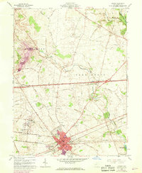
1961 Map of London
USGS Topo · Published 1968About this map
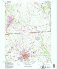
The county seat of London serves as the primary hub of this central Ohio landscape, where the confluence of the Penn Central rail lines and historic thoroughfares like the National Road dictated the growth of the region. The map reveals a highly organized rural infrastructure, dotted with institutional landmarks such as the London Correctional Institution and the County Childrens Home. These larger facilities, alongside the Madison County Airport, underscore the area's development as a regional administrative and transit center.
Find a feature on this map
55 named features on this map. Tap any name to fly to it.
Don’t see what you’re looking for? This feature index may not catch every label — zoom into the map to look around manually.
Map Details
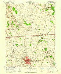
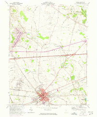
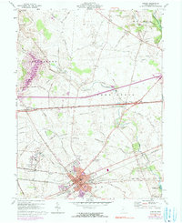
Editions of this 1961 London Map
5 editions found
Other maps of this area

1907 · London
USGS Topo · 1:62,500

1907 · South Charleston
USGS Topo · 1:62,500

1914 · Mechanicsburg
USGS Topo · 1:62,500

1916 · Mechanicsburg
USGS Topo · 1:62,500

1916 · Milford Center
USGS Topo · 1:62,500

1944 · Mechanicsburg
USGS Topo · 1:62,500

1944 · Milford Center
USGS Topo · 1:62,500

1947 · Columbus
USGS Topo · 1:250,000

1950 · Marion
USGS Topo · 1:250,000

1961 · Columbus
USGS Topo · 1:250,000