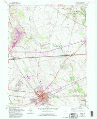
1961 Map of London
USGS Topo · Published 1995About this map
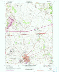
The London city center serves as the anchor for this Madison County landscape, where the agricultural traditions of Union and Deer Creek townships meet mid-century infrastructure. A network of historic corridors, including National Road and Old Columbus Road, connects the county seat to outlying settlements like Summerford and Lafayette. This 1961 record, with 1995 revisions, reveals a complex social landscape ranging from the County Fairgrounds and County Hospital to the sprawling Madison Correctional Institution. Genealogists will find significant value in the documentation of numerous family and community burial grounds, such as Somerford Old Cem and Upper Gwynne Farm Cem. The southern edge of the quadrangle is defined by the recreation area at Madison Lake State Park, while Deer Creek and Little Darby Cr drain the surrounding fertile plains.
Find a feature on this map
40 named features on this map. Tap any name to fly to it.
Don’t see what you’re looking for? This feature index may not catch every label — zoom into the map to look around manually.
Map Details
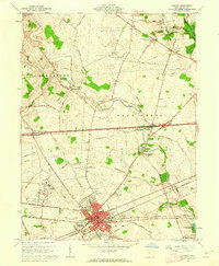
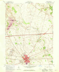
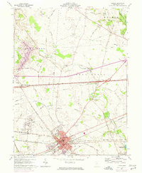
Editions of this 1961 London Map
5 editions found
Other maps of this area

1907 · London
USGS Topo · 1:62,500

1907 · South Charleston
USGS Topo · 1:62,500

1914 · Mechanicsburg
USGS Topo · 1:62,500

1916 · Mechanicsburg
USGS Topo · 1:62,500

1916 · Milford Center
USGS Topo · 1:62,500

1944 · Mechanicsburg
USGS Topo · 1:62,500

1944 · Milford Center
USGS Topo · 1:62,500

1947 · Columbus
USGS Topo · 1:250,000

1950 · Marion
USGS Topo · 1:250,000

1961 · Columbus
USGS Topo · 1:250,000