
1952 Map of Lorida
USGS Topo · Published 1953About this map
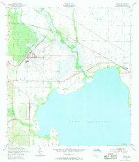
Lake Istokpoga dominates the southern landscape of this 1952 Highlands County survey, marking a vital hydrological center where Arbuckle Creek, Josephine Creek, and Grassy Creek converge. The northern portion of the map is defined by the heavy infrastructure of the Sebring Air Terminal, a sprawling facility that contrasts with the agricultural and wetland character of the surrounding terrain. Along the eastern edge, the settlement of Lorida sits near the Sunnyland Ch, serving as a local hub connected by the Seaboard Air Line railroad. This survey captures the region's complex water management system, illustrated by features like the Gaging Station and various drainage branches including Arbuckle Branch and Wildcat Br, reflecting the mid-century development of Florida's interior wetlands for transportation and military-adjacent infrastructure.
Find a feature on this map
17 named features on this map. Tap any name to fly to it.
Don’t see what you’re looking for? This feature index may not catch every label — zoom into the map to look around manually.
Map Details
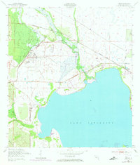
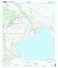
Editions of this 1952 Lorida Map
4 editions found
Other maps of this area

1952 · Fort Kissimmee
USGS Topo · 1:24,000

1952 · Lake Placid
USGS Topo · 1:24,000

1952 · Lake Arbuckle SW
USGS Topo · 1:24,000

1952 · Lake Arbuckle SE
USGS Topo · 1:24,000

1952 · Sebring
USGS Topo · 1:24,000

1953 · Lake June In Winter
USGS Topo · 1:24,000

1953 · Basinger SW
USGS Topo · 1:24,000

1953 · Basinger NW
USGS Topo · 1:24,000

1956 · Fort Pierce
USGS Topo · 1:250,000

1958 · Fort Pierce
USGS Topo · 1:250,000