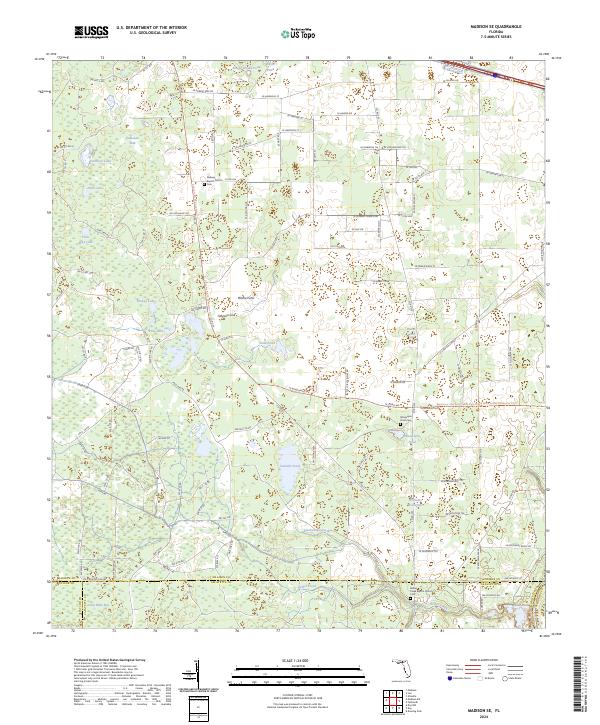
2024 Map of Madison SE
USGS Topo · Published 2024About this map
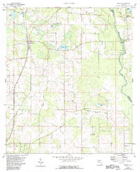
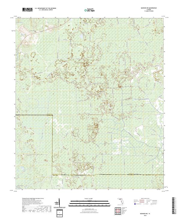
San Pedro Bay and its extensive network of cypress strands and wetlands dominate this portion of the Florida panhandle at the intersection of Madison, Taylor, and Lafayette counties. The landscape is defined by its karst topography, where numerous limestone depressions have created a scattered array of sinks and ponds, including Patterson Sink, Mitchel Sink, and Johnson Sink. These natural drainage features are interspersed among pine plantations and rural timberlands, linked by a grid of logging roads and local connectors such as SW Co Rd 26.
Find a feature on this map
118 named features on this map. Tap any name to fly to it.
Don’t see what you’re looking for? This feature index may not catch every label — zoom into the map to look around manually.
Map Details
Editions of this 2024 Madison SE Map
This is the sole edition of this map. No revisions or reprints were ever made.
Historical Maps of Suwannee County Through Time
16 maps found
1954 Greenville NE
Madison County, FL
1955 Greenville SE
Madison County, FL
1955 Shady Grove
Madison County, FL
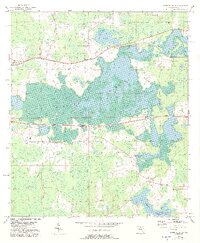
1958 Madison SE
Madison County, FL
1958 Madison SW
Madison County, FL
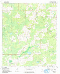
1960 Cherry Lake
Madison County, FL
1960 Pinetta
Madison County, FL
1962 Hamburg
Madison County, FL
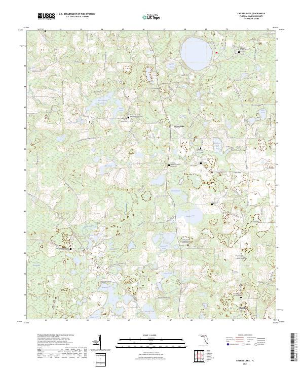
2024 Cherry Lake
Madison County, FL
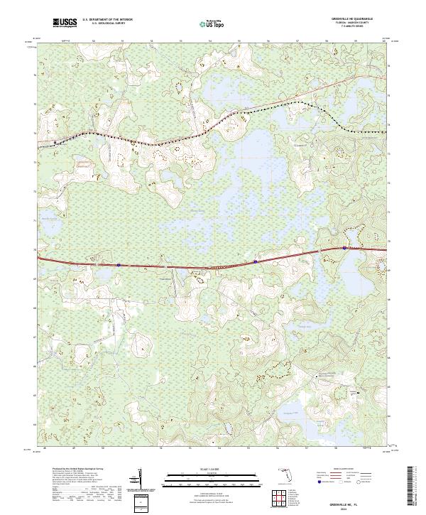
2024 Greenville NE
Madison County, FL
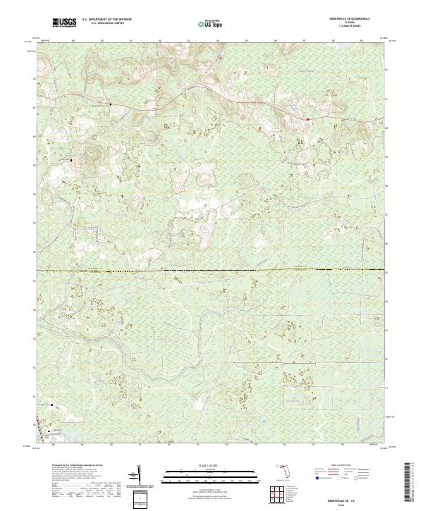
2024 Greenville SE
Madison County, FL
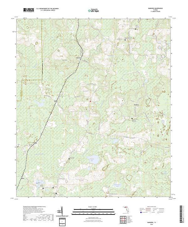
2024 Hamburg
Madison County, FL
2024 Madison SE
Madison County, FL
2024 Madison SW
Madison County, FL
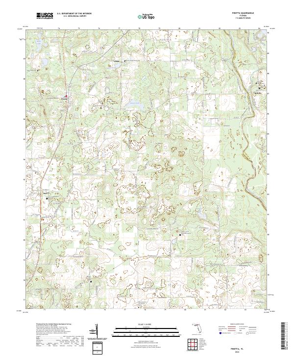
2024 Pinetta
Madison County, FL
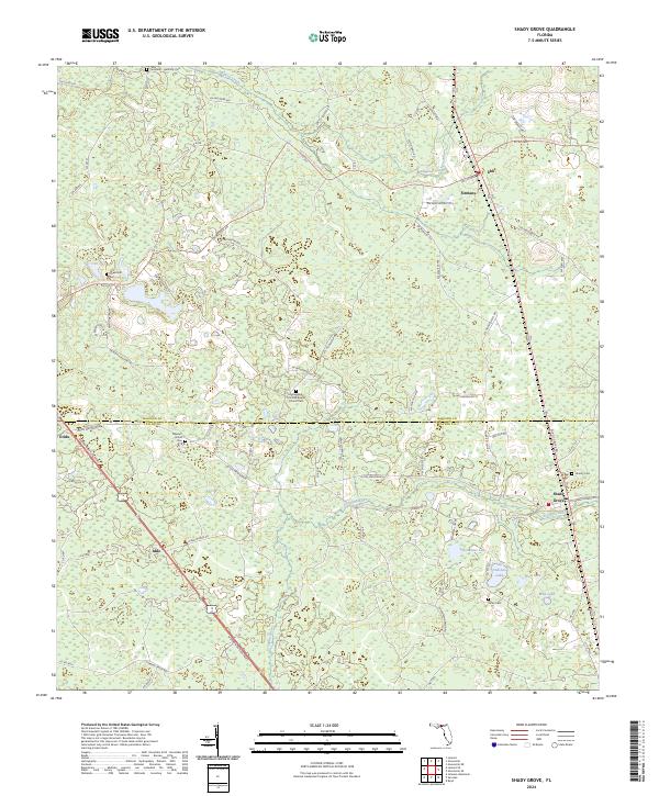
2024 Shady Grove
Madison County, FL