Loading...
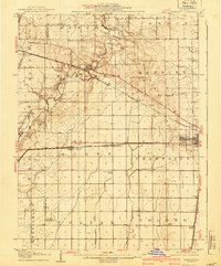
Loading map...1907 Map of Mahomet
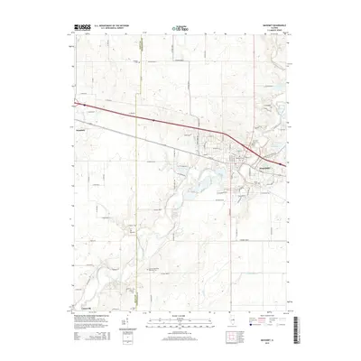
USGS Topo · Published 1950About this map
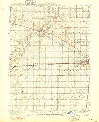
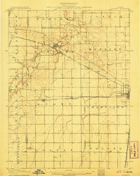
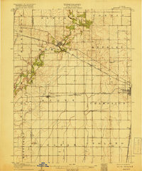
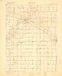
The Sangamon River meanders through the heart of this central Illinois landscape, serving as a primary drainage for the agricultural townships of Mahomet and Hensley. This 1907 survey, updated with culture through 1949, shows the transition from a rail-dependent rural economy to the early aviation era. The emergence of the University of Illinois Airport near Savoy stands in contrast to the numerous one-room schoolhouses that once anchored these rural communities, including Hannah School and Bunker Hill School.
Find a feature on this map
34 named features on this map. Tap any name to fly to it.
Don’t see what you’re looking for? This feature index may not catch every label — zoom into the map to look around manually.
Map Details
Date Portrayed1907
Date Published1950
PublisherU.S. Geological Survey
Map TypeTopographic
Scale1:62,500
Physical Dimensions16.9 x 20.7 inches
Editions of this 1907 Mahomet Map
5 editions found
Historical Maps of Champaign Through Time
8 maps found
Featured Locations
Source Details
SourceU.S. Geological Survey
CopyrightPublic Domain