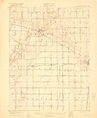
1907 Map of Mahomet
USGS Topo · Published 1918About this map
The Sangamon River carves a winding path through the northern half of this Central Illinois landscape, providing a natural contrast to the rigid sectional grid of the surrounding prairie. In the early twentieth century, this region served as a critical rail junction, where the Peoria and Eastern Division and the Cleveland Cincinnati Chicago and St Louis RR intersected at the village of Mahomet. These steel arteries facilitated the growth of small shipping points like Bondville and Seymour, which appear here during a period of robust agricultural expansion.
Find a feature on this map
32 named features on this map. Tap any name to fly to it.
Don’t see what you’re looking for? This feature index may not catch every label — zoom into the map to look around manually.
Map Details
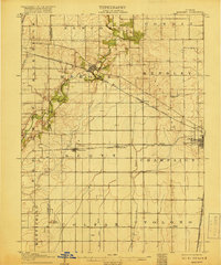
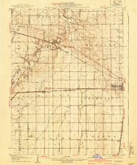
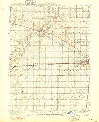
Editions of this 1907 Mahomet Map
5 editions found
Other maps of this area

1906 · Urbana
USGS Topo · 1:62,500

1907 · Mahomet
USGS Topo · 1:62,500

1924 · Paxton
USGS Topo · 1:62,500

1927 · Paxton
USGS Topo · 1:62,500

1928 · Gibson City
USGS Topo · 1:62,500

1937 · Monticello
USGS Topo · 1:48,000

1943 · Monticello
USGS Topo · 1:62,500

1949 · Paxton
USGS Topo · 1:62,500

1950 · Tuscola
USGS Topo · 1:62,500

1952 · Arrowsmith
USGS Topo · 1:62,500